|
search place name
|
||
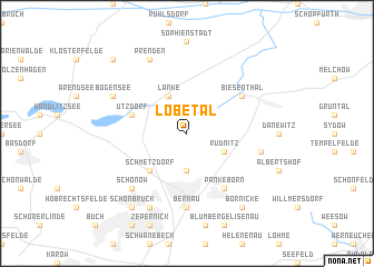
Lobetal (Brandenburg, Germany)Lobetal is a town in the Brandenburg region of Germany. An overview map of the region around Lobetal is displayed below.
regional and 3d topo map of Lobetal, Germany ::
Lobetal airports ::
The nearest airport is TXL - Berlin Tegel, located 27.8 km south west of Lobetal.
Other airports nearby include THF - Berlin Tempelhof (31.4 km south west), SXF - Berlin Schonefeld (39.5 km south), SZZ - Szczechin Goleniow (129.5 km north east), SZW - Schwerin Parchim (143.2 km north west), Nearby towns ::
Ladeburg (3.7km south) //
Rüdnitz (2.9km south east) //
Lanke (3.9km north) //
Schmetzdorf (4.3km south west) //
Ützdorf (3.8km north west) //
Nibelungen (6.0km south) //
Pankeborn (6.0km south) //
Biesenthal (5.0km north east) //
Bernau (7.4km south) //
Schulzenaue (4.9km east) //
Schönow (6.5km south west) //
Kolonie Bernau Süd (7.7km south) //
Bogensee (5.8km north west) //
Prenden (7.7km north) //
Schönbrück (8.1km south west) //
Börnicke (8.1km south east) //
Neudörfchen (8.7km north west) //
[all distances 'as the bird flies' and approximate] 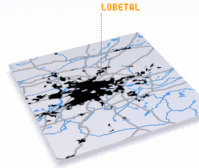 Places with similar names to Lobetal, Germany ::
// La Obdulia (CU)
// La Abadilla (ES)
// Lobdell (US)
// Lobdell (US)
// Labutali (BD)
// Lebutala (BD)
// La Batalla (CO)
// La Batalla (CO)
// La Batalla (CO)
// La Betulia (CO)
Disclaimer :: Information on this page comes without warranty of any kind |
||
|
Where is Lobetal? Elevation and coordinates ::
Latitude (lat): 52°44'0"N Longitude (lon): 13°35'0"E
Elevation (approx.): 55m (map arrows pan, magnifying glasses zoom) |
||
|
Visiting Lobetal? Hotel/Accommodation ::
Book a hotel in Lobetal Travel Guide ::
Buy a travel guide for Germany rental cars ::
car rental offers GPS waypoint ::
download a GPX waypoint (PoI) of Lobetal for your GPS receiver
|
||