|
search place name
|
||
Rath (Nordrhein-Westfalen, Germany)Rath is a town in the Nordrhein-Westfalen region of Germany. An overview map of the region around Rath is displayed below.
regional and 3d topo map of Rath, Germany ::

Rath airports ::
The nearest airport is CGN - Cologne Koln Bonn, located 32.8 km east of Rath.
Other airports nearby include MGL - Moenchengladbach Monchengladbach (47.7 km north), GKE - Geilenkirchen (47.9 km west), DUS - Duesseldorf Dusseldorf (52.9 km north), MST - Maastricht (65.2 km west), Nearby towns ::
Wissersheim (1.2km east) //
Pingsheim (1.9km south) //
Klemenshof (2.2km north west) //
Giffelsberg (3.0km north west) //
Oberbolheim (3.0km north west) //
Langenich (3.9km north) //
Nörvenich (3.0km south west) //
Dorweiler (3.9km south) //
Poll (3.9km south) //
Herrig (3.0km south east) //
Niederbolheim (4.4km north west) //
Gymnich (4.0km north east) //
Hochkirchen (4.0km south west) //
Kerpen (5.7km north) //
Blatzheim (5.1km north west) //
Bergerhausen (6.0km north west) //
Eggersheim (5.1km south west) //
Ollesheim (4.7km west) //
Müddersheim (7.5km south) //
Lüxheim (6.6km south west) //
Gladbach (6.6km south west) //
Erp (6.6km south east) //
Irresheim (6.0km south west) //
Balkhausen (6.0km north east) //
Dorsfeld (8.2km north west) //
Geilrath (8.2km north west) //
Mersheim (8.2km south west) //
Türnich (7.3km north east) //
Bottenbroich (8.8km north east) //
[all distances 'as the bird flies' and approximate] 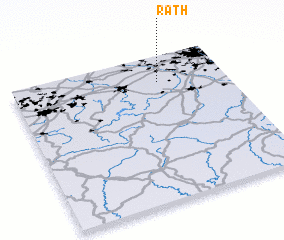 Places with similar names to Rath, Germany ::
Disclaimer :: Information on this page comes without warranty of any kind |
||
|
Where is Rath? Elevation and coordinates ::
Latitude (lat): 50°49'0"N Longitude (lon): 6°41'0"E
Elevation (approx.): 112m (map arrows pan, magnifying glasses zoom) |
||
|
Visiting Rath? Hotel/Accommodation ::
Book a hotel in Rath Travel Guide ::
Buy a travel guide for Germany rental cars ::
car rental offers GPS waypoint ::
download a GPX waypoint (PoI) of Rath for your GPS receiver
|
||