|
search place name
|
||
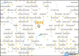
Reith (Bayern, Germany)Reith is a town in the Bayern region of Germany. An overview map of the region around Reith is displayed below.
regional and 3d topo map of Reith, Germany ::
Reith airports ::
The nearest airport is OBF - Oberpfaffenhofen, located 35.8 km north west of Reith.
Other airports nearby include FEL - Fuerstenfeldbruck Furstenfeldbruck (47.4 km north west), MUC - Munich Munchen (57.4 km north), INN - Innsbruck (68.7 km south), AGB - Augsburg (81.8 km north west), Nearby towns ::
Dietramszell (1.2km west) //
Osten (1.2km west) //
Dietenhausen (2.2km north east) //
Ried (2.2km north west) //
Schönegg (2.5km west) //
Obermühlthal (2.5km west) //
Untermühlthal (2.5km west) //
Thalham (3.9km north) //
Lochen (3.9km north) //
Schlickenried (3.9km north) //
Reutberg (4.3km south) //
Linden (4.5km north west) //
Habichau (4.5km south west) //
Baiernrain (5.6km north) //
Leismühl (3.7km west) //
Thannkirchen (3.7km west) //
Buch (3.7km east) //
Kleinhartpenning (3.7km east) //
Asberg (3.7km east) //
Jasberg (5.7km north) //
Steingau (5.7km north) //
Berg (5.7km north) //
Niederreuth (4.2km south west) //
Helfertsried (4.2km south west) //
Kurzenberg (4.2km south east) //
Föggenbeuern (5.3km north west) //
Erlach (6.1km north east) //
Roggersdorf (5.3km north east) //
Piesenkam (5.3km south east) //
[all distances 'as the bird flies' and approximate] 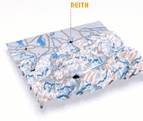 Places with similar names to Reith, Germany ::
Disclaimer :: Information on this page comes without warranty of any kind |
||
|
Where is Reith? Elevation and coordinates ::
Latitude (lat): 47°51'0"N Longitude (lon): 11°37'0"E
Elevation (approx.): 722m (map arrows pan, magnifying glasses zoom) |
||
|
Visiting Reith? Hotel/Accommodation ::
Book a hotel in Reith Travel Guide ::
Buy a travel guide for Germany rental cars ::
car rental offers GPS waypoint ::
download a GPX waypoint (PoI) of Reith for your GPS receiver
|
||