|
search place name
|
||
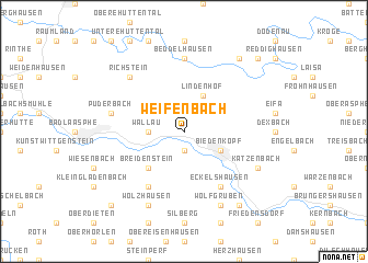
Weifenbach (Hessen, Germany)Weifenbach is a town in the Hessen region of Germany. An overview map of the region around Weifenbach is displayed below.
regional and 3d topo map of Weifenbach, Germany ::
Weifenbach airports ::
The nearest airport is ZCA - Arnsberg Menden, located 74.2 km north west of Weifenbach.
Other airports nearby include PAD - Paderborn Lippstadt (76.2 km north), KSF - Kassel Calden (81.0 km north east), DTM - Dortmund (89.9 km north west), ZNF - Hanau Aaf (91.1 km south), Nearby towns ::
Ludwigshütte (1.9km south) //
Wallau (2.3km west) //
Biedenkopf (3.0km south east) //
Lindenhof (3.9km north) //
Breidenstein (4.4km south west) //
Breidenbach (6.0km south west) //
Eckelshausen (6.0km south east) //
Beddelhausen (7.4km north) //
Puderbach (5.0km west) //
Richstein (6.6km north west) //
Wolfgruben (7.8km south) //
Wolzhausen (7.8km south) //
Katzenbach (6.0km south east) //
Kombach (8.2km south east) //
Wilhelmshütte (8.2km south east) //
Hatzfeld (8.2km north east) //
Ebenfeld (8.2km north east) //
Niederdieten (8.8km south west) //
Biebighausen (8.8km north east) //
[all distances 'as the bird flies' and approximate] 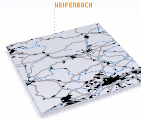 Places with similar names to Weifenbach, Germany ::
// Woffenbach (DE)
Disclaimer :: Information on this page comes without warranty of any kind |
||
|
Where is Weifenbach? Elevation and coordinates ::
Latitude (lat): 50°56'0"N Longitude (lon): 8°30'0"E
Elevation (approx.): 355m (map arrows pan, magnifying glasses zoom) |
||
|
Visiting Weifenbach? Hotel/Accommodation ::
Book a hotel in Weifenbach Travel Guide ::
Buy a travel guide for Germany rental cars ::
car rental offers GPS waypoint ::
download a GPX waypoint (PoI) of Weifenbach for your GPS receiver
|
||