|
search place name
|
||
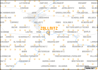
Zöllnitz (Thüringen, Germany)Zöllnitz is a town in the Thüringen region of Germany. An overview map of the region around Zöllnitz is displayed below.
regional and 3d topo map of Zöllnitz, Germany ::
Zöllnitz airports ::
The nearest airport is ERF - Erfurt, located 49.1 km west of Zöllnitz.
Other airports nearby include AOC - Altenburg Nobitz (62.7 km east), HOQ - Hof Plauen (66.2 km south), LEJ - Leipzig Halle (76.0 km north east), BYU - Bayreuth (98.1 km south), Nearby towns ::
Schiebelau (0.0km north) //
Drackendorf (1.9km north) //
Sulza (1.2km west) //
Rutha (2.2km north west) //
Illmnitz (2.2km north east) //
Oelknitz (2.2km south west) //
Großbockedra (2.2km south east) //
Kleinbockedra (2.2km south east) //
Maua (2.3km west) //
Laasdorf (2.3km east) //
Göschwitz (3.0km north west) //
Rothenstein (3.0km south west) //
Magersdorf (3.9km south) //
Wöllnitz (4.4km north west) //
Bugau (4.4km north west) //
Lobeda (4.4km north west) //
Rabis (4.4km north east) //
Jägersdorf (4.4km south west) //
Schöps (4.4km south west) //
Kleinpürschütz (4.4km south west) //
Rausdorf (3.5km east) //
Gröben (4.0km north east) //
Ziegenhain (5.7km north) //
Sophienhöhe (5.7km north) //
Untergneus (4.0km south east) //
Unterbodnitz (5.7km south) //
Zöttnitz (5.1km north east) //
Winzerla (5.1km north west) //
Großpürschütz (6.0km south west) //
[all distances 'as the bird flies' and approximate] 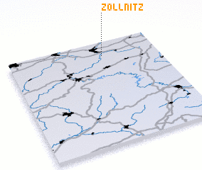 Places with similar names to Zöllnitz, Germany ::
Disclaimer :: Information on this page comes without warranty of any kind |
||
|
Where is Zöllnitz? Elevation and coordinates ::
Latitude (lat): 50°52'0"N Longitude (lon): 11°38'0"E
Elevation (approx.): 184m (map arrows pan, magnifying glasses zoom) |
||
|
Visiting Zöllnitz? Hotel/Accommodation ::
Book a hotel in Zöllnitz Travel Guide ::
Buy a travel guide for Germany rental cars ::
car rental offers GPS waypoint ::
download a GPX waypoint (PoI) of Zöllnitz for your GPS receiver
|
||