|
search place name
|
||
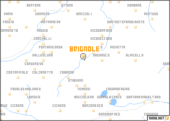
Brignole (Italy)Brignole is a town in Italy. An overview map of the region around Brignole is displayed below.
regional and 3d topo map of Brignole, Italy ::
Brignole airports ::
The nearest airport is GOA - Genoa Genova Sestri, located 43.6 km west of Brignole.
Other airports nearby include QPZ - Piacenza (52.3 km north east), PMF - Parma (81.3 km north east), LIN - Milan Linate (103.4 km north), ALL - Albenga (111.7 km south west), Nearby towns ::
Rezzoaglio (2.3km north east) //
Magnasco (2.6km east) //
Vico Mezzano (4.6km north east) //
Torrini (4.6km north east) //
Cabanne (4.6km south west) //
Bertigaro (5.6km south) //
Stibiveri (5.7km south) //
Vico Soprano (6.2km north east) //
Temossi (7.4km south) //
Pievetta (5.6km east) //
Fontanigorda (5.6km west) //
Parazzuolo (6.8km south west) //
Boschi (8.4km north east) //
Pietranera (9.1km north west) //
Casa Poragine (9.1km south east) //
[all distances 'as the bird flies' and approximate] 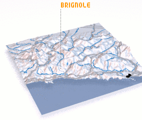 Places with similar names to Brignole, Italy ::
// Brugnola (IT)
// Birkeneļi (LV)
// Bărăganul (RO)
// Bărcanele (RO)
// Borakanelo (ZA)
// Brookneal (US)
// Borakanelo (BW)
// Bracknell (AU)
// Brucknell (AU)
// Bracknell (GB)
Disclaimer :: Information on this page comes without warranty of any kind |
||
|
Where is Brignole? Elevation and coordinates ::
Latitude (lat): 44°31'0"N Longitude (lon): 9°22'0"E
Elevation (approx.): 743m (map arrows pan, magnifying glasses zoom) |
||
|
Visiting Brignole? Hotel/Accommodation ::
Book a hotel in Brignole Travel Guide ::
Buy a travel guide for Italy rental cars ::
car rental offers GPS waypoint ::
download a GPX waypoint (PoI) of Brignole for your GPS receiver
|
||