|
search place name
|
||
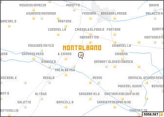
Montalbano (Italy)Montalbano is a town in Italy. An overview map of the region around Montalbano is displayed below.
regional and 3d topo map of Montalbano, Italy ::
Montalbano airports ::
The nearest airport is BLQ - Bologna, located 32.5 km south west of Montalbano.
Other airports nearby include FRL - Forli (73.6 km south east), QPA - Padova (75.1 km north), VRN - Villafranca (89.4 km north west), VIC - Vicenza (91.6 km north), Nearby towns ::
Gallo (2.3km south west) //
Il Chiaro (2.6km west) //
San Martino (3.9km north) //
Malalbergo (4.5km south west) //
Passo Segni (5.7km south) //
Chiesol del Fosso (5.7km north) //
Fiasca (4.4km south east) //
Barchessa (4.4km south east) //
Penne (6.2km south east) //
San Bartolomeo in Bosco (5.6km east) //
Aia Bosco (5.6km west) //
Coronella (6.8km north west) //
Madonna della Neve (6.4km north east) //
Pratone (7.9km north) //
Fontana (7.7km north east) //
Pegola (7.7km south west) //
[all distances 'as the bird flies' and approximate] 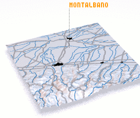 Places with similar names to Montalbano, Italy ::
// Montalbano (IT)
// Montalbán (ES)
// Montelíbano (CO)
// Montelíbano (CO)
// Monte Líbano (MX)
// Monte Libano (MX)
// Montalban (VE)
// Montalbán (VE)
// Montalbán (VE)
// Monte Líbano (NI)
Disclaimer :: Information on this page comes without warranty of any kind |
||
|
Where is Montalbano? Elevation and coordinates ::
Latitude (lat): 44°45'0"N Longitude (lon): 11°34'0"E
Elevation (approx.): 7m (map arrows pan, magnifying glasses zoom) |
||
|
Visiting Montalbano? Hotel/Accommodation ::
Book a hotel in Montalbano Travel Guide ::
Buy a travel guide for Italy rental cars ::
car rental offers GPS waypoint ::
download a GPX waypoint (PoI) of Montalbano for your GPS receiver
|
||