|
search place name
|
||
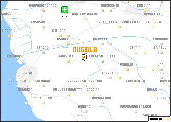
Nugola (Italy)Nugola is a town in Italy. An overview map of the region around Nugola is displayed below.
regional and 3d topo map of Nugola, Italy ::
Nugola airports ::
The nearest airport is PSA - Pisa, located 11.6 km north of Nugola.
Other airports nearby include FLR - Firenze (67.1 km east), SAY - Siena Ampugnano (75.8 km south east), EBA - Marina Di Campo (92.8 km south), GRS - Grosseto (105.2 km south east), Nearby towns ::
Mortaiolo (1.9km north) //
Guasticce (2.7km west) //
Colle Salvetti (2.7km east) //
Casa dellʼIsola (4.6km north west) //
Vicarello (4.6km north east) //
Parrana San Martino (5.6km south) //
Coltano (6.2km north west) //
Torretta (5.5km south east) //
Grecciano (5.5km north east) //
Crocina (7.5km south) //
I Palazzi (6.9km north west) //
Valle Benedetta (7.9km south) //
Luciana (6.5km south east) //
Santo Stefano a Macerata (9.2km north east) //
[all distances 'as the bird flies' and approximate] 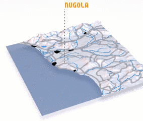 Places with similar names to Nugola, Italy ::
Disclaimer :: Information on this page comes without warranty of any kind |
||
|
Where is Nugola? Elevation and coordinates ::
Latitude (lat): 43°35'0"N Longitude (lon): 10°26'0"E
Elevation (approx.): 23m (map arrows pan, magnifying glasses zoom) |
||
|
Visiting Nugola? Hotel/Accommodation ::
Book a hotel in Nugola Travel Guide ::
Buy a travel guide for Italy rental cars ::
car rental offers GPS waypoint ::
download a GPX waypoint (PoI) of Nugola for your GPS receiver
|
||