|
search place name
|
||
Gboweke (Grand Gedeh, Liberia)Gboweke is a town in the Grand Gedeh region of Liberia. An overview map of the region around Gboweke is displayed below.
regional and 3d topo map of Gboweke, Liberia ::

Gboweke airports ::
The nearest airport is SPY - San Pedro, located 110.2 km east of Gboweke.
Other airports nearby include DJO - Daloa (240.9 km north east), Nearby towns ::
Wregboken (0.5km west) //
Tawake (1.2km south west) //
Kodeke (2) (2.4km south) //
Chagboke (3.5km west) //
Suwroken (4.0km south) //
Yadoke (4.2km east) //
Yeboke (5.0km south west) //
Tawohken (7.5km north west) //
Towaken (7.9km north east) //
Wutuke (8.1km east) //
Kaloke (8.1km south) //
Jalatoke (8.3km north west) //
Tumake (8.7km north west) //
Gbaaka (8.7km north) //
Kronowodoken (8.7km south) //
Fété (8.9km south east) //
Patake (9.0km east) //
Gimané (9.3km south east) //
Siouolo (9.4km south east) //
Sweaken (9.4km north west) //
Geepla (11.2km north east) //
[all distances 'as the bird flies' and approximate] 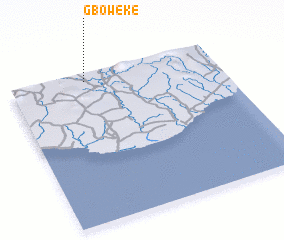 Places with similar names to Gboweke, Liberia ::
Disclaimer :: Information on this page comes without warranty of any kind |
||
|
Where is Gboweke? Elevation and coordinates ::
Latitude (lat): 4°57'0"N Longitude (lon): 7°38'0"W
Elevation (approx.): 71m (map arrows pan, magnifying glasses zoom) |
||
|
Visiting Gboweke? Hotel/Accommodation ::
Book a hotel in Gboweke Travel Guide ::
Buy a travel guide for Liberia rental cars ::
car rental offers GPS waypoint ::
download a GPX waypoint (PoI) of Gboweke for your GPS receiver
|
||