|
search place name
|
||
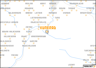
Kunerad (Slovakia)Kunerad is a town in Slovakia. An overview map of the region around Kunerad is displayed below.
regional and 3d topo map of Kunerad, Slovakia ::
Kunerad airports ::
The nearest airport is SLD - Sliac, located 59.8 km south east of Kunerad.
Other airports nearby include OSR - Ostrava Mosnov (79.6 km north west), PZY - Piestany (83.9 km south west), PRV - Prerov (102.1 km west), TAT - Poprad Tatry (111.4 km east), Nearby towns ::
Stránske (2.2km north west) //
Poluvsie (3.7km north) //
Konská (3.1km north west) //
Kamenná Poruba (3.1km south west) //
Rajecké Teplice (4.4km north west) //
Turie (6.1km north east) //
Ďurčiná (5.2km south west) //
Lietavská Svinná (6.1km north west) //
Lietavská Lúčka (7.4km north) //
Kľače (4.9km west) //
Porúbka (7.5km north) //
Zbyňov (5.2km west) //
Knezova Lehota (6.6km north west) //
Lietava (7.8km north) //
Rajecká Lesná (7.4km south west) //
Višňové (8.9km north east) //
Babkov (8.9km north west) //
[all distances 'as the bird flies' and approximate] 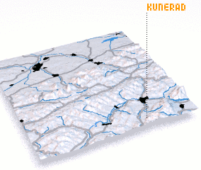 Places with similar names to Kunerad, Slovakia ::
Disclaimer :: Information on this page comes without warranty of any kind |
||
|
Where is Kunerad? Elevation and coordinates ::
Latitude (lat): 49°6'0"N Longitude (lon): 18°43'0"E
Elevation (approx.): 556m (map arrows pan, magnifying glasses zoom) |
||
|
Visiting Kunerad? Hotel/Accommodation ::
Book a hotel in Kunerad Travel Guide ::
Buy a travel guide for Slovakia rental cars ::
car rental offers GPS waypoint ::
download a GPX waypoint (PoI) of Kunerad for your GPS receiver
|
||