|
search place name
|
||
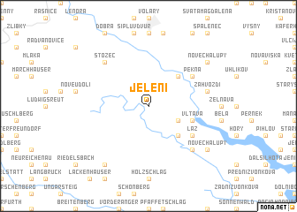
Jelení (Czech Republic)Jelení is a town in Czech Republic. An overview map of the region around Jelení is displayed below.
regional and 3d topo map of Jelení, Czech Republic ::
Jelení airports ::
The nearest airport is LNZ - Linz (Horsching), located 68.7 km south of Jelení.
Other airports nearby include SZG - Salzburg (131.2 km south west), PRG - Prague Ruzyne (145.4 km north), KLV - Karlovy Vary (169.4 km north west), PED - Pardubice (189.3 km north east), Nearby towns ::
Ovesná (3.1km south east) //
Chlum (4.4km north east) //
Dlouhý Bor (4.4km south east) //
Vltava (4.1km south east) //
Pěkná (5.2km north east) //
Láz (5.2km south east) //
Záhvozdí (5.2km east) //
Nová Pec (6.7km south east) //
Stožec (6.7km north west) //
Nové Chalupy (7.4km south east) //
Oberschwarzenberg (8.3km south west) //
Nové Chalupy (7.4km north east) //
Jodlovy Chalupy (7.4km north east) //
[all distances 'as the bird flies' and approximate] 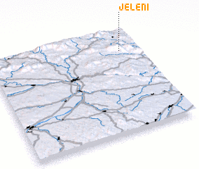 Places with similar names to Jelení, Czech Republic ::
Disclaimer :: Information on this page comes without warranty of any kind |
||
|
Where is Jelení? Elevation and coordinates ::
Latitude (lat): 48°49'0"N Longitude (lon): 13°53'0"E
Elevation (approx.): 914m (map arrows pan, magnifying glasses zoom) |
||
|
Visiting Jelení? Hotel/Accommodation ::
Book a hotel in Jelení Travel Guide ::
rental cars ::
car rental offers GPS waypoint ::
download a GPX waypoint (PoI) of Jelení for your GPS receiver
|
||