|
search place name
|
||
Suchohrad (Czech Republic)Suchohrad is a town in Czech Republic. An overview map of the region around Suchohrad is displayed below.
regional and 3d topo map of Suchohrad, Czech Republic ::

nearby GPS traces from timatio ::
Suchohrad airports ::
The nearest airport is BTS - Bratislava M R Stefanik, located 36.2 km south east of Suchohrad.
Other airports nearby include VIE - Vienna Schwechat (39.0 km south west), PZY - Piestany (75.3 km east), BRQ - Turany (84.5 km north), PRV - Prerov (120.7 km north), Nearby towns ::
Kleinstillfried (1.2km west) //
Karlov Dvor (1.9km north) //
Záhorská Ves (2.2km south west) //
Wutzelburg (2.5km west) //
Stillfried (2.5km west) //
Grub an der March (3.1km north west) //
Mannersdorf an der March (3.1km south west) //
Angern an der March (3.8km south west) //
Dúbrava (4.4km south east) //
Ollersdorf (4.9km west) //
Jakubov (5.3km east) //
Waidendorf (6.7km north west) //
Zwerndorf (7.8km south) //
Am Ziegelwerk (7.8km north) //
Vysoká pri Morave (8.3km south east) //
Gajary (8.9km north east) //
Stripfing (8.9km south west) //
[all distances 'as the bird flies' and approximate] 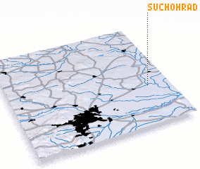
Disclaimer :: Information on this page comes without warranty of any kind |
||
|
Where is Suchohrad? Elevation and coordinates ::
Latitude (lat): 48°24'0"N Longitude (lon): 16°52'0"E
Elevation (approx.): 143m (map arrows pan, magnifying glasses zoom) |
||
|
Visiting Suchohrad? Hotel/Accommodation ::
Book a hotel in Suchohrad Travel Guide ::
rental cars ::
car rental offers GPS waypoint ::
download a GPX waypoint (PoI) of Suchohrad for your GPS receiver
|
||