|
search place name
|
||
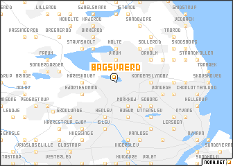
Bagsværd (København, Denmark)Bagsværd is a town in the København region of Denmark. An overview map of the region around Bagsværd is displayed below.
regional and 3d topo map of Bagsværd, Denmark ::
Bagsværd airports ::
The nearest airport is CPH - Copenhagen Kastrup, located 20.4 km south east of Bagsværd.
Other airports nearby include RKE - Copenhagen Roskilde (29.2 km south west), JLD - Landskrona (32.1 km north east), MMX - Malmoe Sturup (62.8 km south east), KID - Kristianstad (102.9 km east), Nearby towns ::
Virum (3.7km north) //
Dronninggård (3.7km north) //
Mørkhøj (3.9km south) //
Gladsakse (3.9km south) //
Buddinge (4.3km south east) //
Holte (5.6km north) //
Hareskovby (3.1km west) //
Kongens Lyngby (3.1km east) //
Husum (5.7km south) //
Hjortespring (3.6km south west) //
Herlev (5.7km south) //
Brede (4.8km north east) //
Øverød (5.9km north) //
Ørholm (4.8km north east) //
Bistrup (5.9km north) //
Søborg (4.9km south east) //
Vangede (4.6km south east) //
Islev (7.5km south) //
Stavnsholt (6.4km north west) //
Søllerød (6.4km north east) //
Utterslev (6.4km south east) //
Lundtofte (5.6km north east) //
Birkerød (7.7km north) //
Gammel Holte (8.0km north east) //
Ejby (8.0km south west) //
Bellahøj (8.0km south east) //
Brønshøj (8.0km south east) //
Skovlunde (7.0km south west) //
[all distances 'as the bird flies' and approximate] 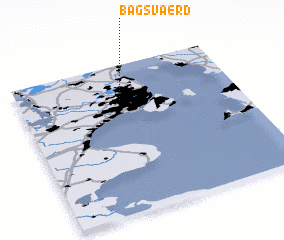 Places with similar names to Bagsværd, Denmark ::
Disclaimer :: Information on this page comes without warranty of any kind |
||
|
Where is Bagsværd? Elevation and coordinates ::
Latitude (lat): 55°46'0"N Longitude (lon): 12°28'0"E
Elevation (approx.): 18m (map arrows pan, magnifying glasses zoom) |
||
|
Visiting Bagsværd? Hotel/Accommodation ::
Book a hotel in Bagsværd Travel Guide ::
Buy a travel guide for Denmark rental cars ::
car rental offers GPS waypoint ::
download a GPX waypoint (PoI) of Bagsværd for your GPS receiver
|
||