|
search place name
|
||
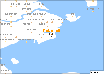
Medsted (Sønderjylland, Denmark)Medsted is a town in the Sønderjylland region of Denmark. An overview map of the region around Medsted is displayed below.
regional and 3d topo map of Medsted, Denmark ::
Medsted airports ::
The nearest airport is SKS - Skrydstrup, located 26.8 km west of Medsted.
Other airports nearby include SGD - Soenderborg Sonderborg (27.1 km south), ODE - Odense (51.4 km north east), BLL - Billund (68.9 km north west), EBJ - Esbjerg (80.3 km north west), Nearby towns ::
Halk (2.1km west) //
Flovt (3.9km north) //
Hyrup (4.3km north west) //
Råde (5.6km north) //
Hajstrup (5.7km north) //
Øsby (5.9km north) //
Årøsund (5.9km north) //
Hejsager (4.6km north west) //
Stevelt (7.7km north) //
Stenderup (7.0km north west) //
Kvistrup (8.1km north west) //
Sverdrup (8.5km north west) //
Årø (8.5km north east) //
[all distances 'as the bird flies' and approximate] 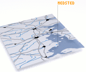 Places with similar names to Medsted, Denmark ::
// Motoştiţi (RO)
// Maitsotady (MG)
// Medstead (CA)
// Madsted (DK)
// Medstead (GB)
// Mudi Estate (MW)
Disclaimer :: Information on this page comes without warranty of any kind |
||
|
Where is Medsted? Elevation and coordinates ::
Latitude (lat): 55°12'0"N Longitude (lon): 9°41'0"E
Elevation (approx.): 27m (map arrows pan, magnifying glasses zoom) |
||
|
Visiting Medsted? Hotel/Accommodation ::
Book a hotel in Medsted Travel Guide ::
Buy a travel guide for Denmark rental cars ::
car rental offers GPS waypoint ::
download a GPX waypoint (PoI) of Medsted for your GPS receiver
|
||