|
search place name
|
||
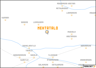
Mehtätalo (Oulu, Finland)Mehtätalo is a town in the Oulu region of Finland. An overview map of the region around Mehtätalo is displayed below.
regional and 3d topo map of Mehtätalo, Finland ::
Mehtätalo airports ::
The nearest airport is KOK - Kruunupyy, located 84.3 km south west of Mehtätalo.
Other airports nearby include OUL - Oulu (93.8 km north east), KAU - Kauhava (137.2 km south west), KEM - Kemi Tornio (180.1 km north), JYV - Jyvaskyla (205.2 km south), Nearby towns ::
Leppikorpi (4.0km north west) //
Niemelänkylä (6.4km south west) //
Takalo (8.1km south west) //
[all distances 'as the bird flies' and approximate] 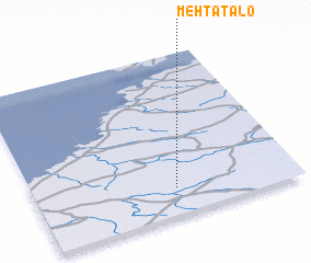 Places with similar names to Mehtätalo, Finland ::
// Mawtawtale (MM)
// Meadowdale (US)
// Matatal (PH)
// Medetli (TR)
// Madutle (ZA)
// Matatiela (ZA)
// Matatiele (ZA)
// Meadedale (US)
// Mattydale (US)
// Meadowdale (US)
Disclaimer :: Information on this page comes without warranty of any kind |
||
|
Where is Mehtätalo? Elevation and coordinates ::
Latitude (lat): 64°10'0"N Longitude (lon): 24°32'0"E
(map arrows pan, magnifying glasses zoom) |
||
|
Visiting Mehtätalo? Hotel/Accommodation ::
Book a hotel in Mehtätalo Travel Guide ::
Buy a travel guide for Finland rental cars ::
car rental offers GPS waypoint ::
download a GPX waypoint (PoI) of Mehtätalo for your GPS receiver
|
||