|
search place name
|
||
Glengyle (United Kingdom)Glengyle is a town in United Kingdom. An overview map of the region around Glengyle is displayed below.
regional and 3d topo map of Glengyle, United Kingdom ::

Glengyle airports ::
The nearest airport is GLA - Glasgow, located 47.0 km south of Glengyle.
Other airports nearby include EDI - Edinburgh (84.9 km south east), PIK - Prestwick (86.2 km south), DND - Dundee (99.1 km east), ADX - Leuchars (107.6 km east), Nearby towns ::
Stronachlachar (4.2km south east) //
[all distances 'as the bird flies' and approximate] 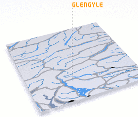 Places with similar names to Glengyle, United Kingdom ::
// Klengel (DE)
// Gli Angeli (IT)
// Gli Angeli (IT)
// Kalınağıl (TR)
// Kaliangila (ZM)
// Kaliangile (ZM)
// Kalunjele (ZM)
// Qelenjlū (IR)
// Kaliangile (NA)
// Klein-Agelo (NL)
Disclaimer :: Information on this page comes without warranty of any kind |
||
|
Where is Glengyle? Elevation and coordinates ::
Latitude (lat): 56°17'0"N Longitude (lon): 4°36'0"W
Elevation (approx.): 129m (map arrows pan, magnifying glasses zoom) |
||
|
Visiting Glengyle? Hotel/Accommodation ::
Book a hotel in Glengyle Travel Guide ::
rental cars ::
car rental offers GPS waypoint ::
download a GPX waypoint (PoI) of Glengyle for your GPS receiver
|
||