|
search place name
|
||
Kingsley (United Kingdom)Kingsley is a town in United Kingdom. An overview map of the region around Kingsley is displayed below.
regional and 3d topo map of Kingsley, United Kingdom ::

Kingsley airports ::
The nearest airport is LPL - Liverpool, located 14.3 km north west of Kingsley.
Other airports nearby include CEG - Hawarden (23.0 km south west), MAN - Manchester (27.9 km east), BLK - Blackpool (61.1 km north west), LBA - Leeds Bradford (94.3 km north east), Nearby towns ::
Delamere (5.6km south) //
Kelsall Hill (5.7km south) //
Preston on the Hill (5.7km north) //
Halton (6.0km north) //
Acton (4.4km east) //
Frodsham (5.8km north west) //
Daresbury (7.7km north) //
Mouldsworth (5.8km south west) //
Cuddington (5.8km south east) //
Weston (7.1km north west) //
Ashton (7.1km south west) //
Kelsall (8.1km south west) //
[all distances 'as the bird flies' and approximate] 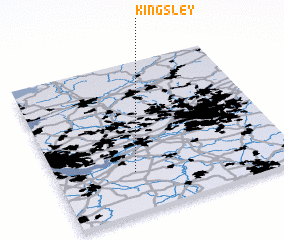 Places with similar names to Kingsley, United Kingdom ::
// Kingsley (US)
// Kingsley (US)
// Kongslia (NO)
// Kunksilla (EE)
// Čanića Selo (BA)
// Conquezuela (ES)
// Kingsley (ZA)
// Kingsley (US)
// Kingsley (US)
// Kingsley (US)
Disclaimer :: Information on this page comes without warranty of any kind |
||
|
Where is Kingsley? Elevation and coordinates ::
Latitude (lat): 53°16'0"N Longitude (lon): 2°40'0"W
Elevation (approx.): 42m (map arrows pan, magnifying glasses zoom) |
||
|
Visiting Kingsley? Hotel/Accommodation ::
Book a hotel in Kingsley Travel Guide ::
rental cars ::
car rental offers GPS waypoint ::
download a GPX waypoint (PoI) of Kingsley for your GPS receiver
|
||