|
search place name
|
||
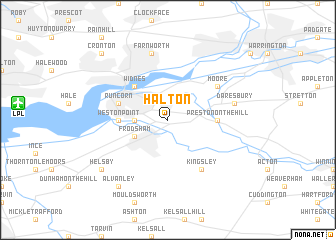
Halton (United Kingdom)Halton is a town in United Kingdom. An overview map of the region around Halton is displayed below.
regional and 3d topo map of Halton, United Kingdom ::
Halton airports ::
The nearest airport is LPL - Liverpool, located 10.2 km west of Halton.
Other airports nearby include CEG - Hawarden (24.1 km south west), MAN - Manchester (28.6 km east), BLK - Blackpool (55.1 km north west), LBA - Leeds Bradford (92.1 km north east), Nearby towns ::
Weston (2.2km west) //
Frodsham (2.9km south west) //
Widnes (4.3km north west) //
Weston Point (3.3km west) //
Preston on the Hill (3.3km east) //
Runcorn (3.8km north west) //
Kingsley (6.0km south) //
Moore (5.0km north east) //
Farnworth (7.5km north) //
Daresbury (4.8km north east) //
Helsby (7.1km south west) //
Alvanley (8.1km south west) //
Cronton (8.6km north west) //
[all distances 'as the bird flies' and approximate] 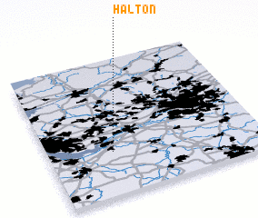 Places with similar names to Halton, United Kingdom ::
Disclaimer :: Information on this page comes without warranty of any kind |
||
|
Where is Halton? Elevation and coordinates ::
Latitude (lat): 53°19'0"N Longitude (lon): 2°42'0"W
Elevation (approx.): 50m (map arrows pan, magnifying glasses zoom) |
||
|
Visiting Halton? Hotel/Accommodation ::
Book a hotel in Halton Travel Guide ::
rental cars ::
car rental offers GPS waypoint ::
download a GPX waypoint (PoI) of Halton for your GPS receiver
|
||