|
search place name
|
||
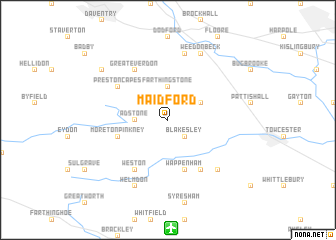
Maidford (United Kingdom)Maidford is a town in United Kingdom. An overview map of the region around Maidford is displayed below.
regional and 3d topo map of Maidford, United Kingdom ::
Maidford airports ::
The nearest airport is CVT - Coventry, located 35.6 km north west of Maidford.
Other airports nearby include OXF - Oxford Kidlington (38.0 km south west), BZZ - Brize Norton (55.6 km south west), BHX - Birmingham (55.7 km north west), LTN - London Luton (58.8 km south east), Nearby towns ::
Blakesley (2.2km south east) //
Adstone (2.3km west) //
Farthingstone (3.7km north) //
Litchborough (2.9km north east) //
Wappenham (5.7km south) //
Moreton Pinkney (3.9km south west) //
Weston (6.0km south) //
Slapton (6.0km south) //
Preston Capes (5.0km north west) //
Great Everdon (6.0km north) //
Church Stowe (7.5km north) //
Abthorpe (6.5km south east) //
Weedon Beck (7.8km north) //
Helmdon (7.8km south) //
Fawsley (7.2km north west) //
[all distances 'as the bird flies' and approximate] 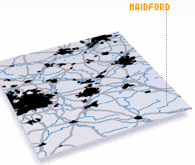 Places with similar names to Maidford, United Kingdom ::
// Muddy Ford (US)
// Medford (US)
// Matu Fort (MY)
// Moutfort (LU)
// Mīt Gharīţah (EG)
// Muddy Ford (US)
// Medford (US)
// Medford (US)
// Medford (US)
// Medford (US)
Disclaimer :: Information on this page comes without warranty of any kind |
||
|
Where is Maidford? Elevation and coordinates ::
Latitude (lat): 52°9'0"N Longitude (lon): 1°6'0"W
Elevation (approx.): 139m (map arrows pan, magnifying glasses zoom) |
||
|
Visiting Maidford? Hotel/Accommodation ::
Book a hotel in Maidford Travel Guide ::
rental cars ::
car rental offers GPS waypoint ::
download a GPX waypoint (PoI) of Maidford for your GPS receiver
|
||