|
search place name
|
||
Weston (United Kingdom)Weston is a town in United Kingdom. An overview map of the region around Weston is displayed below.
regional and 3d topo map of Weston, United Kingdom ::

Weston airports ::
The nearest airport is OXF - Oxford Kidlington, located 32.0 km south west of Weston.
Other airports nearby include CVT - Coventry (38.2 km north west), BZZ - Brize Norton (49.8 km south west), BHX - Birmingham (57.5 km north west), LTN - London Luton (58.2 km south east), Nearby towns ::
Helmdon (1.9km south) //
Moreton Pinkney (3.9km north) //
Adstone (5.6km north) //
Sulgrave (3.4km west) //
Wappenham (3.4km east) //
Radstone (5.6km south) //
Whitfield (5.7km south) //
Blakesley (5.0km north east) //
Maidford (6.0km north) //
Greatworth (5.0km south west) //
Syresham (5.0km south east) //
Slapton (4.6km east) //
Culworth (4.6km west) //
Brackley (7.5km south) //
Biddlesdon (6.5km south east) //
Eydon (5.9km north west) //
Litchborough (8.7km north east) //
[all distances 'as the bird flies' and approximate] 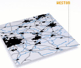 Places with similar names to Weston, United Kingdom ::
Disclaimer :: Information on this page comes without warranty of any kind |
||
|
Where is Weston? Elevation and coordinates ::
Latitude (lat): 52°6'0"N Longitude (lon): 1°8'0"W
Elevation (approx.): 126m (map arrows pan, magnifying glasses zoom) |
||
|
Visiting Weston? Hotel/Accommodation ::
Book a hotel in Weston Travel Guide ::
rental cars ::
car rental offers GPS waypoint ::
download a GPX waypoint (PoI) of Weston for your GPS receiver
|
||