|
search place name
|
||
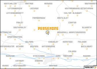
Peasemore (United Kingdom)Peasemore is a town in United Kingdom. An overview map of the region around Peasemore is displayed below.
regional and 3d topo map of Peasemore, United Kingdom ::
Peasemore airports ::
The nearest airport is BZZ - Brize Norton, located 34.4 km north west of Peasemore.
Other airports nearby include BBS - Blackbushe (38.2 km south east), FFD - Fairford (38.6 km north west), ODH - Odiham (38.8 km south east), QLA - Lasham (39.0 km south east), Nearby towns ::
Beedon (2.3km east) //
Chieveley (3.9km south) //
Winterbourne (5.6km south) //
Beedon Hill (3.5km east) //
Brightwalton (3.9km north west) //
Farnborough (6.0km north west) //
Boxford (6.6km south west) //
East Ilsley (6.5km north east) //
Hermitage (5.9km south east) //
Welford (5.9km south west) //
Chilton (8.7km north east) //
[all distances 'as the bird flies' and approximate] 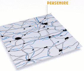 Places with similar names to Peasemore, United Kingdom ::
// Pazmari (AZ)
// Pase Mira (MM)
// Píso Meriá (GR)
// Pousa Maria (PT)
// Pozomouro (ES)
// Pasamar (MX)
// Puzumbur (NG)
// Pessemer' (RU)
// Pizhmar (RU)
Disclaimer :: Information on this page comes without warranty of any kind |
||
|
Where is Peasemore? Elevation and coordinates ::
Latitude (lat): 51°29'0"N Longitude (lon): 1°20'0"W
Elevation (approx.): 138m (map arrows pan, magnifying glasses zoom) |
||
|
Visiting Peasemore? Hotel/Accommodation ::
Book a hotel in Peasemore Travel Guide ::
rental cars ::
car rental offers GPS waypoint ::
download a GPX waypoint (PoI) of Peasemore for your GPS receiver
|
||