|
search place name
|
||
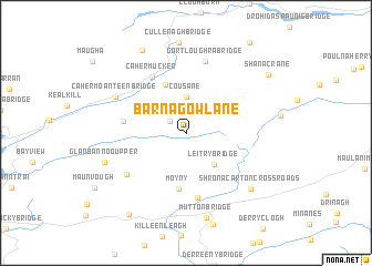
Barnagowlane (Corcaigh, Ireland)Barnagowlane is a town in the Corcaigh region of Ireland. An overview map of the region around Barnagowlane is displayed below.
regional and 3d topo map of Barnagowlane, Ireland ::
Barnagowlane airports ::
The nearest airport is KIR - Kerry, located 52.3 km north of Barnagowlane.
Other airports nearby include ORK - Cork (56.5 km east), SNN - Shannon (110.7 km north), GWY - Galway (176.0 km north), Nearby towns ::
Coomleagh (1.5km north west) //
Cousane (3.6km north) //
Leitry Bridge (3.6km south east) //
Ballynamought (5.0km north) //
Moyny (5.6km south) //
Ardrah (4.1km west) //
Cahermucker (6.0km north) //
Moyny Bridge (6.6km south) //
Glandart (5.6km south west) //
Gortloughra Bridge (7.3km north) //
Cahermoanteen Bridge (5.7km north west) //
Shronacarton Cross Roads (7.0km south east) //
Glanbannoo Upper (5.9km south west) //
Mutton Bridge (8.6km south) //
Cappaboy Beg (8.8km north) //
Aghaville Cross Roads (9.0km south west) //
Shanacrane (7.8km north east) //
[all distances 'as the bird flies' and approximate] 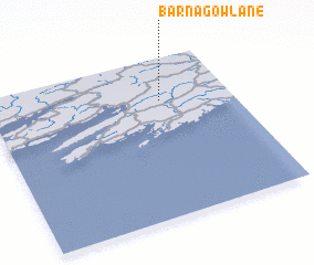 Places with similar names to Barnagowlane, Ireland ::
// Baraun Kalān (IN)
// Barranco El León (MX)
Disclaimer :: Information on this page comes without warranty of any kind |
||
|
Where is Barnagowlane? Elevation and coordinates ::
Latitude (lat): 51°43'59"N Longitude (lon): 9°17'29"W
Elevation (approx.): 308m (map arrows pan, magnifying glasses zoom) |
||
|
Visiting Barnagowlane? Hotel/Accommodation ::
Book a hotel in Barnagowlane Travel Guide ::
Buy a travel guide for Ireland rental cars ::
car rental offers GPS waypoint ::
download a GPX waypoint (PoI) of Barnagowlane for your GPS receiver
|
||