|
search place name
|
||
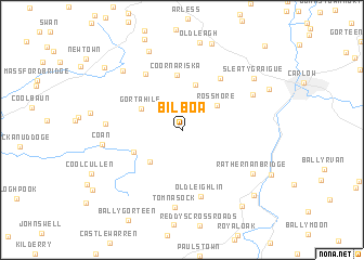
Bilboa (Carlow, Ireland)Bilboa is a town in the Carlow region of Ireland. An overview map of the region around Bilboa is displayed below.
regional and 3d topo map of Bilboa, Ireland ::
Bilboa airports ::
The nearest airport is WAT - Waterford, located 67.9 km south of Bilboa.
Other airports nearby include DUB - Dublin (86.5 km north east), SNN - Shannon (127.8 km west), GWY - Galway (139.4 km north west), ORK - Cork (145.3 km south west), Nearby towns ::
Rossmore (3.4km north east) //
Seskinrea (3.8km south west) //
Gortahile (3.4km north west) //
Coorlaghan (4.7km north) //
Black Bridge (3.8km south west) //
Coornariska (5.7km north) //
Killeshin (5.8km north east) //
Mooreʼs Cross Roads (6.2km north) //
Oldleighlin (6.8km south) //
Tomnasock (7.9km south) //
Kellyʼs Bridge (4.8km west) //
Crockaun (5.7km north east) //
Coan (5.2km west) //
Rathernan Bridge (6.3km south east) //
Drumagh (7.1km north west) //
Aghaterry (8.3km north) //
Sleatygraigue (7.0km north east) //
Graigue (6.8km north east) //
Farranatreney (8.6km south east) //
Leighlinbridge (8.0km south east) //
Leithghlinn an Droichid (8.0km south east) //
Aghreena (8.0km north west) //
Ballytiniska Cross Roads (10.0km north east) //
[all distances 'as the bird flies' and approximate] 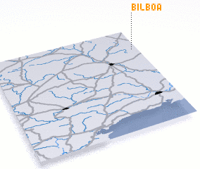 Places with similar names to Bilboa, Ireland ::
Disclaimer :: Information on this page comes without warranty of any kind |
||
|
Where is Bilboa? Elevation and coordinates ::
Latitude (lat): 52°47'48"N Longitude (lon): 7°2'17"W
Elevation (approx.): 259m (map arrows pan, magnifying glasses zoom) |
||
|
Visiting Bilboa? Hotel/Accommodation ::
Book a hotel in Bilboa Travel Guide ::
Buy a travel guide for Ireland rental cars ::
car rental offers GPS waypoint ::
download a GPX waypoint (PoI) of Bilboa for your GPS receiver
|
||