|
search place name
|
||
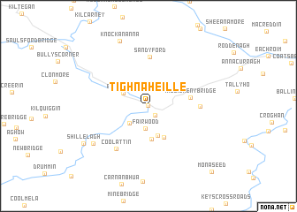
Tigh na hÉille (Cill Mhantáin, Ireland)Tigh na hÉille is a town in the Cill Mhantáin region of Ireland. An overview map of the region around Tigh na hÉille is displayed below.
regional and 3d topo map of Tigh na hÉille, Ireland ::
Tigh na hÉille airports ::
The nearest airport is DUB - Dublin, located 70.7 km north of Tigh na hÉille.
Other airports nearby include WAT - Waterford (80.0 km south west), IOM - Isle Of Man (188.3 km north east), ENK - Enniskillen St Angelo (194.9 km north west), BHD - Belfast City (206.4 km north), Nearby towns ::
Tinahely (0.0km north) //
Kilcommon Bridge (1.2km south east) //
Fairwood (2.9km south) //
Greenhall Bridge (2.6km south west) //
Bridgeland (2.5km north west) //
Stonybatter (3.8km south) //
Coolboy (4.1km south) //
Crosspatrick (4.2km south) //
Killicreny Bridge (3.3km east) //
Sandy Ford (6.1km north) //
Coolalug Bridge (3.9km east) //
Coolattin (6.0km south west) //
Ardeen (6.4km south west) //
Knockananna (8.4km north) //
Shillelagh (6.9km south west) //
Síol Éalaigh (6.9km south west) //
Monaseed (9.6km south east) //
[all distances 'as the bird flies' and approximate] 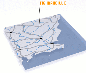 Places with similar names to Tigh na hÉille, Ireland ::
// Tiefenhüll (DE)
// Devanhalli (IN)
Disclaimer :: Information on this page comes without warranty of any kind |
||
|
Where is Tigh na hÉille? Elevation and coordinates ::
Latitude (lat): 52°47'48"N Longitude (lon): 6°27'48"W
Elevation (approx.): 95m (map arrows pan, magnifying glasses zoom) |
||
|
Visiting Tigh na hÉille? Hotel/Accommodation ::
Book a hotel in Tigh na hÉille Travel Guide ::
Buy a travel guide for Ireland rental cars ::
car rental offers GPS waypoint ::
download a GPX waypoint (PoI) of Tigh na hÉille for your GPS receiver
|
||