|
search place name
|
||
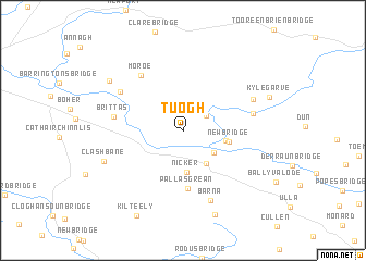
Tuogh (Limerick, Ireland)Tuogh is a town in the Limerick region of Ireland. An overview map of the region around Tuogh is displayed below.
regional and 3d topo map of Tuogh, Ireland ::
Tuogh airports ::
The nearest airport is SNN - Shannon, located 40.1 km west of Tuogh.
Other airports nearby include ORK - Cork (84.9 km south), GWY - Galway (87.3 km north west), KIR - Kerry (92.1 km south west), WAT - Waterford (97.9 km south east), Nearby towns ::
Cappamore (2.1km north east) //
An Cheapach Mhór (2.1km north east) //
Old Bridge (2.9km south east) //
Pallas Grean (3.7km south east) //
Nicker (4.2km south) //
Killuragh (2.8km east) //
New Bridge (3.0km east) //
Pallas Grean (5.9km south) //
Moroe (6.3km north west) //
Brittas (4.6km west) //
Blackboy Bridge (4.6km east) //
Abington (5.6km north west) //
Barna (7.3km south) //
Cloonteen (5.4km north east) //
Clashbane (5.9km south west) //
Farnane (6.9km north west) //
Palatine Street (8.8km south) //
Kylegarve (6.4km north east) //
Kilteely (9.1km south) //
Cill Tíle (9.1km south) //
[all distances 'as the bird flies' and approximate] 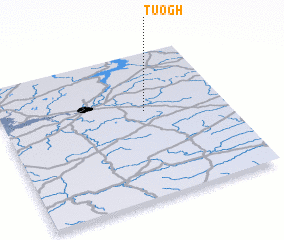 Places with similar names to Tuogh, Ireland ::
Disclaimer :: Information on this page comes without warranty of any kind |
||
|
Where is Tuogh? Elevation and coordinates ::
Latitude (lat): 52°36'0"N Longitude (lon): 8°21'24"W
Elevation (approx.): 73m (map arrows pan, magnifying glasses zoom) |
||
|
Visiting Tuogh? Hotel/Accommodation ::
Book a hotel in Tuogh Travel Guide ::
Buy a travel guide for Ireland rental cars ::
car rental offers GPS waypoint ::
download a GPX waypoint (PoI) of Tuogh for your GPS receiver
|
||