|
search place name
|
||
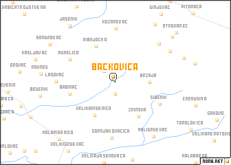
Bačkovica (Croatia)Bačkovica is a town in Croatia. An overview map of the region around Bačkovica is displayed below.
regional and 3d topo map of Bačkovica, Croatia ::
Bačkovica airports ::
The nearest airport is ZAG - Zagreb, located 82.3 km west of Bačkovica.
Other airports nearby include MBX - Maribor (130.8 km north west), OSI - Osijek (138.8 km east), GRZ - Graz (180.8 km north west), ZAD - Zadar (238.6 km south west), Nearby towns ::
Čađavac (1.9km south) //
Bedenička (2.3km north west) //
Brzaja (3.9km east) //
Velika Pisanica (5.9km south west) //
Ribnjačka (6.2km north) //
Zrinska (6.1km south east) //
Babinac (5.5km west) //
Sibenik (6.1km south east) //
Pupelica (6.4km north west) //
Kozarevac (8.8km north) //
Velika Črešnjevica (8.0km north east) //
Sedlarica (8.0km north east) //
Mali Grđevac (9.8km south east) //
[all distances 'as the bird flies' and approximate] 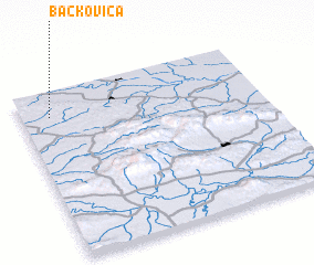 Places with similar names to Bačkovica, Croatia ::
Disclaimer :: Information on this page comes without warranty of any kind |
||
|
Where is Bačkovica? Elevation and coordinates ::
Latitude (lat): 45°51'0"N Longitude (lon): 17°7'0"E
Elevation (approx.): 216m (map arrows pan, magnifying glasses zoom) |
||
|
Visiting Bačkovica? Hotel/Accommodation ::
Book a hotel in Bačkovica Travel Guide ::
Buy a travel guide for Croatia rental cars ::
car rental offers GPS waypoint ::
download a GPX waypoint (PoI) of Bačkovica for your GPS receiver
|
||