|
search place name
|
||
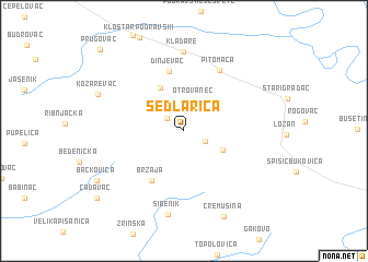
Sedlarica (Virovitičko-Podravska Županija, Croatia)Sedlarica is a town in the Virovitičko-Podravska Županija region of Croatia. An overview map of the region around Sedlarica is displayed below.
regional and 3d topo map of Sedlarica, Croatia ::
Sedlarica airports ::
The nearest airport is ZAG - Zagreb, located 89.3 km west of Sedlarica.
Other airports nearby include MBX - Maribor (133.5 km north west), OSI - Osijek (134.6 km east), GRZ - Graz (181.8 km north west), ZAD - Zadar (246.4 km south west), Nearby towns ::
Velika Črešnjevica (1.7km north west) //
Mala Črešnjevica (2.4km north) //
Turnašica (1.9km south east) //
Otrovanec (3.1km north) //
Vukosavljevica (3.4km south east) //
Grabrovnica (4.7km north) //
Brzaja (5.5km south west) //
Dinjevac (6.2km north) //
Pitomača (6.7km north east) //
Kladare (8.1km north) //
Sibenik (8.6km south) //
Kozarevac (7.2km north west) //
Cremušina (9.2km south) //
Bačkovica (8.0km south west) //
Čađavac (9.2km south west) //
Prugovac (10.2km north west) //
[all distances 'as the bird flies' and approximate] 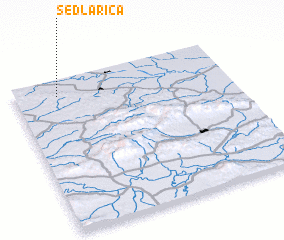 Places with similar names to Sedlarica, Croatia ::
Disclaimer :: Information on this page comes without warranty of any kind |
||
|
Where is Sedlarica? Elevation and coordinates ::
Latitude (lat): 45°53'43"N Longitude (lon): 17°11'47"E
Elevation (approx.): 157m (map arrows pan, magnifying glasses zoom) |
||
|
Visiting Sedlarica? Hotel/Accommodation ::
Book a hotel in Sedlarica Travel Guide ::
Buy a travel guide for Croatia rental cars ::
car rental offers GPS waypoint ::
download a GPX waypoint (PoI) of Sedlarica for your GPS receiver
|
||