|
search place name
|
||
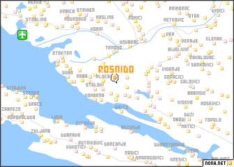
Rosni Do (Croatia)Rosni Do is a town in Croatia. An overview map of the region around Rosni Do is displayed below.
regional and 3d topo map of Rosni Do, Croatia ::
Rosni Do airports ::
The nearest airport is OMO - Mostar, located 41.7 km north east of Rosni Do.
Other airports nearby include DBV - Dubrovnik (73.2 km south east), SJJ - Sarajevo (113.5 km north east), TIV - Tivat (113.7 km south east), SPU - Split (120.8 km north west), Nearby towns ::
Moračni Do (0.7km north) //
Glavice (1.3km north) //
Šipovac (1.4km north) //
Podbrijest (1.4km south east) //
Lipovac (1.5km north east) //
Prović (1.8km south) //
Smrđan Grad (2.0km south) //
Dukati (2.0km north) //
Ploča (1.6km west) //
Podstijene (2.1km south east) //
Slivno Ravno (1.9km south west) //
Tmol (2.2km north east) //
Dančanje (2.5km north) //
Klek (2.7km south) //
Zavala (2.6km south east) //
Prevoznik (2.7km south east) //
Duboka (3.2km south west) //
Stolovi (2.7km west) //
Pižnovac (2.9km north west) //
Lađište (3.5km north west) //
Krstac (3.4km south east) //
Lovorje (3.2km west) //
Kupinovac (3.2km west) //
Komarna (3.7km south west) //
Podgradina (4.4km north) //
Opuce (4.6km south) //
Mislina (3.7km north east) //
Trnovo (5.0km north) //
Badžula (3.8km east) //
[all distances 'as the bird flies' and approximate] 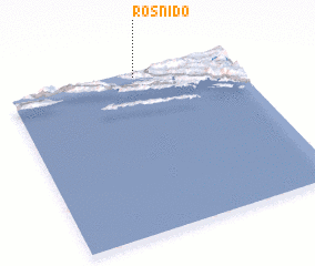 Places with similar names to Rosni Do, Croatia ::
Disclaimer :: Information on this page comes without warranty of any kind |
||
|
Where is Rosni Do? Elevation and coordinates ::
Latitude (lat): 42°58'9"N Longitude (lon): 17°33'55"E
Elevation (approx.): 324m (map arrows pan, magnifying glasses zoom) |
||
|
Visiting Rosni Do? Hotel/Accommodation ::
Book a hotel in Rosni Do Travel Guide ::
Buy a travel guide for Croatia rental cars ::
car rental offers GPS waypoint ::
download a GPX waypoint (PoI) of Rosni Do for your GPS receiver
|
||