|
search place name
|
||
Štitar (Croatia)Štitar is a town in Croatia. An overview map of the region around Štitar is displayed below.
regional and 3d topo map of Štitar, Croatia ::

Štitar airports ::
The nearest airport is OSI - Osijek, located 42.9 km north of Štitar.
Other airports nearby include BEG - Beograd (135.2 km east), SJJ - Sarajevo (143.4 km south), OMO - Mostar (211.2 km south), Nearby towns ::
Staro Selo (3.5km south) //
Berava (4.9km north east) //
Tolisa (5.8km south) //
Donja Mahala (5.8km south) //
Županja (4.9km south east) //
Bukova Greda (7.2km south) //
Domaljevac (5.9km south west) //
Ugljara (7.4km south east) //
Kostrč (8.1km south) //
Nožice (7.4km north west) //
Orašje (7.9km south east) //
Guzinovci (8.4km south west) //
Gradište (7.8km north east) //
Mašići (8.7km south west) //
(( Nežice )) (8.2km north west) //
Matijaševići (9.8km south west) //
Doljani (9.9km south west) //
[all distances 'as the bird flies' and approximate] 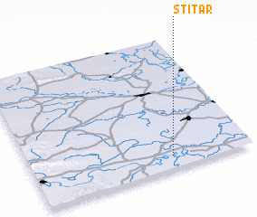 Places with similar names to Štitar, Croatia ::
// Sdider (MA)
// Stöttera (AT)
// Stedar (DE)
// Souto do Rio (PT)
// Štedra (BA)
// Sidi et Taïari (TN)
// Soto de Rey (ES)
// Soutadoiro (ES)
// Stouter (US)
// Saido Dera (PK)
Disclaimer :: Information on this page comes without warranty of any kind |
||
|
Where is Štitar? Elevation and coordinates ::
Latitude (lat): 45°5'44"N Longitude (lon): 18°38'25"E
Elevation (approx.): 81m (map arrows pan, magnifying glasses zoom) |
||
|
Visiting Štitar? Hotel/Accommodation ::
Book a hotel in Štitar Travel Guide ::
Buy a travel guide for Croatia rental cars ::
car rental offers GPS waypoint ::
download a GPX waypoint (PoI) of Štitar for your GPS receiver
|
||