|
search place name
|
||
Sdider (Taounate, Morocco)Sdider is a town in the Taounate region of Morocco. An overview map of the region around Sdider is displayed below.
regional and 3d topo map of Sdider, Morocco ::

Sdider airports ::
The nearest airport is FEZ - Fez Saiss, located 67.9 km south of Sdider.
Other airports nearby include MEK - Meknes Bassatine (82.8 km south west), TTU - Tetouan Saniat Rmel (119.7 km north), AHU - Al Hociema Cherif El Idrissi (134.3 km north east), NNA - Kentira Kenitra (141.5 km west), Nearby towns ::
Dekioukiyene (1.9km south) //
Hannaoua (2.0km south east) //
Kouassem (2.4km south east) //
Dehar Bou Mohammed (3.1km east) //
El Hamma (3.1km west) //
Talilet (3.6km north east) //
Fès al Bali (3.6km north west) //
Sghoula (5.3km south) //
El Kaïtoun (5.6km north) //
Moulay Bouchta (5.4km south west) //
Hazdour (5.8km north) //
Oulad Hammou (5.1km east) //
Dar Dar (6.3km north east) //
Doukkara (6.1km east) //
Beni Kissane (7.6km north) //
Azaïb (6.4km east) //
El Bouied (7.6km south) //
Remla (7.6km north) //
Et Taalba (7.2km north west) //
Oulad Ben Addou (7.2km south east) //
Tazerout (8.7km north east) //
[all distances 'as the bird flies' and approximate] 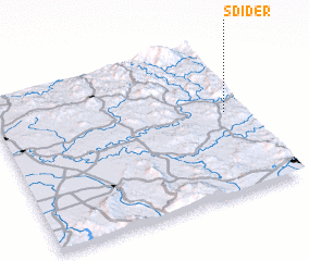 Places with similar names to Sdider, Morocco ::
// Stöttera (AT)
// Stedar (DE)
// Souto do Rio (PT)
// Štedra (BA)
// Sidi et Taïari (TN)
// Soto de Rey (ES)
// Soutadoiro (ES)
// Stouter (US)
// Saido Dera (PK)
// Saidodero (PK)
Disclaimer :: Information on this page comes without warranty of any kind |
||
|
Where is Sdider? Elevation and coordinates ::
Latitude (lat): 34°32'0"N Longitude (lon): 5°5'0"W
Elevation (approx.): 144m (map arrows pan, magnifying glasses zoom) |
||
|
Visiting Sdider? Hotel/Accommodation ::
Book a hotel in Sdider Travel Guide ::
Buy a travel guide for Morocco rental cars ::
car rental offers GPS waypoint ::
download a GPX waypoint (PoI) of Sdider for your GPS receiver
|
||