|
search place name
|
||
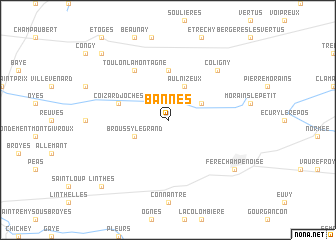
Bannes (Champagne-Ardenne, France)Bannes is a town in the Champagne-Ardenne region of France. An overview map of the region around Bannes is displayed below.
regional and 3d topo map of Bannes, France ::
Bannes airports ::
The nearest airport is QYR - Troyes Barberey, located 53.6 km south of Bannes.
Other airports nearby include RHE - Reims Champagne (57.5 km north), CDG - Paris Charles De Gaulle (102.9 km west), LBG - Paris Le Bourget (109.8 km west), AUF - Auxerre Branches (110.1 km south), Nearby towns ::
Aulnizeux (3.9km north) //
Aulnay-aux-Planches (3.1km north east) //
Broussy-le-Grand (3.1km south west) //
Vert-la-Gravelle (5.6km north) //
Coizard-Joches (4.1km north west) //
Toulon-la-Montagne (6.1km north west) //
Coligny (6.7km north east) //
Fère-Champenoise (7.4km south east) //
Linthes (8.9km south west) //
Férebrianges (8.9km north west) //
[all distances 'as the bird flies' and approximate] 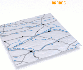 Places with similar names to Bannes, France ::
Disclaimer :: Information on this page comes without warranty of any kind |
||
|
Where is Bannes? Elevation and coordinates ::
Latitude (lat): 48°48'0"N Longitude (lon): 3°55'0"E
Elevation (approx.): 144m (map arrows pan, magnifying glasses zoom) |
||
|
Visiting Bannes? Hotel/Accommodation ::
Book a hotel in Bannes Travel Guide ::
Buy a travel guide for France rental cars ::
car rental offers GPS waypoint ::
download a GPX waypoint (PoI) of Bannes for your GPS receiver
|
||