|
search place name
|
||
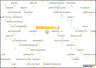
Brandeville (Lorraine, France)Brandeville is a town in the Lorraine region of France. An overview map of the region around Brandeville is displayed below.
regional and 3d topo map of Brandeville, France ::
Brandeville airports ::
The nearest airport is MZM - Metz Frescaty, located 69.8 km south east of Brandeville.
Other airports nearby include LUX - Luxemburg Luxembourg (71.3 km north east), ETZ - Metz Nancy Lorraine (82.5 km south east), RHE - Reims Champagne (91.2 km west), ENC - Nancy Essey (102.7 km south east), Nearby towns ::
Bréhéville (2.4km east) //
Haraumont (4.4km south west) //
Murvaux (3.6km west) //
Écurey (4.1km south east) //
Lissey (4.1km south east) //
Réville-aux-Bois (5.2km south east) //
Sivry-sur-Meuse (7.8km south) //
Vilosnes-sur-Meuse (7.4km south west) //
Louppy-sur-Loison (8.2km north east) //
Charmois (8.8km north west) //
[all distances 'as the bird flies' and approximate] 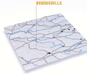 Places with similar names to Brandeville, France ::
// Brandval (NO)
// Brandvoll (NO)
// Brandvoll (NO)
// Brandvlei (ZA)
// Brandvlei (ZA)
// Brandvlei (ZA)
// Bruntville (ZA)
// Berantevilla (ES)
// Brantville (US)
Disclaimer :: Information on this page comes without warranty of any kind |
||
|
Where is Brandeville? Elevation and coordinates ::
Latitude (lat): 49°23'0"N Longitude (lon): 5°18'0"E
Elevation (approx.): 294m (map arrows pan, magnifying glasses zoom) |
||
|
Visiting Brandeville? Hotel/Accommodation ::
Book a hotel in Brandeville Travel Guide ::
Buy a travel guide for France rental cars ::
car rental offers GPS waypoint ::
download a GPX waypoint (PoI) of Brandeville for your GPS receiver
|
||