|
search place name
|
||
Courcuire (Franche-Comté, France)Courcuire is a town in the Franche-Comté region of France. An overview map of the region around Courcuire is displayed below.
regional and 3d topo map of Courcuire, France ::

Courcuire airports ::
The nearest airport is DLE - Dole Tavaux, located 45.5 km south west of Courcuire.
Other airports nearby include DIJ - Dijon Longvic (55.7 km west), XCD - Chalon Champforgeuil (95.6 km south west), EPL - Epinal Mirecourt (110.0 km north), GVA - Geneva Cointrin (125.6 km south), Nearby towns ::
Autoreille (1.9km north) //
Beaumotte-lès-Pin (3.9km south) //
Charcenne (3.1km north west) //
Avrigney (3.1km south west) //
Gy (5.6km north) //
Brussey (5.6km south) //
Chevigney-sur-lʼOgnon (5.7km south) //
Émagny (5.3km south east) //
Pin-lʼÉmagny (5.3km south east) //
Virey (5.0km west) //
Ruffey-le-Château (7.5km south) //
Choye (6.2km north west) //
Bucey-lès-Gy (7.8km north) //
Villefrancon (7.5km north west) //
Marnay (8.3km south west) //
Chenevrey-et-Morogne (9.0km south west) //
[all distances 'as the bird flies' and approximate] 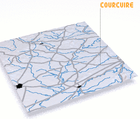 Places with similar names to Courcuire, France ::
// Gourreguir (MA)
// Krakra (MA)
// Krakra (MA)
// Krakra (MA)
// Kriker (MA)
// Qarqar (AZ)
// Carcar (PH)
// Caraycaray (PH)
// Carigara (PH)
// Corcuera (PH)
Disclaimer :: Information on this page comes without warranty of any kind |
||
|
Where is Courcuire? Elevation and coordinates ::
Latitude (lat): 47°21'0"N Longitude (lon): 5°49'0"E
Elevation (approx.): 305m (map arrows pan, magnifying glasses zoom) |
||
|
Visiting Courcuire? Hotel/Accommodation ::
Book a hotel in Courcuire Travel Guide ::
Buy a travel guide for France rental cars ::
car rental offers GPS waypoint ::
download a GPX waypoint (PoI) of Courcuire for your GPS receiver
|
||