|
search place name
|
||
Cuissai (Basse-Normandie, France)Cuissai is a town in the Basse-Normandie region of France. An overview map of the region around Cuissai is displayed below.
regional and 3d topo map of Cuissai, France ::

Cuissai airports ::
The nearest airport is LME - Le Mans Arnage, located 59.2 km south of Cuissai.
Other airports nearby include LVA - Laval Entrammes (74.3 km south west), CFR - Caen Carpiquet (85.7 km north west), DOL - Deauville St Gatien (100.4 km north), LEH - Le Havre Octeville (118.8 km north), Nearby towns ::
Lonrai (1.2km east) //
Pacé (2.2km south west) //
Colombiers (2.5km east) //
Saint-Nicolas-des-Bois (3.7km north) //
Condé-sur-Sarthe (3.9km south) //
Damigni (4.1km south east) //
Mieuxcé (7.4km south) //
Fontenai-les-Louvets (7.5km north) //
Héloup (7.5km south) //
La Roche-Mabile (5.3km west) //
Saint-Denis-sur-Sarthon (5.3km west) //
Saint-Germain-du-Corbéis (6.7km south east) //
La Ferrière-Bochard (6.7km south west) //
Livaie (6.7km north west) //
Alençon (6.2km south east) //
Arçonnay (8.9km south east) //
[all distances 'as the bird flies' and approximate] 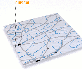 Places with similar names to Cuissai, France ::
Disclaimer :: Information on this page comes without warranty of any kind |
||
|
Where is Cuissai? Elevation and coordinates ::
Latitude (lat): 48°28'0"N Longitude (lon): 0°1'0"W
Elevation (approx.): 162m (map arrows pan, magnifying glasses zoom) |
||
|
Visiting Cuissai? Hotel/Accommodation ::
Book a hotel in Cuissai Travel Guide ::
Buy a travel guide for France rental cars ::
car rental offers GPS waypoint ::
download a GPX waypoint (PoI) of Cuissai for your GPS receiver
|
||