|
search place name
|
||
Fanget (Rhône-Alpes, France)Fanget is a town in the Rhône-Alpes region of France. An overview map of the region around Fanget is displayed below.
regional and 3d topo map of Fanget, France ::

Fanget airports ::
The nearest airport is EBU - St.-etienne Boutheon, located 38.9 km north west of Fanget.
Other airports nearby include VAF - Valence Chabeuil (48.8 km south east), LPY - Le Puy Loudes (62.9 km west), LYN - Lyon Bron (63.6 km north east), GNB - Grenoble Saint Geoirs (64.1 km east), Nearby towns ::
Métrosc (1.3km west) //
Vanosc (2.3km south east) //
Monestier (3.7km south) //
Préaux (3.7km south) //
Vocance (3.9km south) //
Pouilla (3.2km south east) //
Poutette (3.9km north) //
Vireuil-le-Haut (3.9km north) //
Saint-Sauveur-en-Rue (4.5km north west) //
Burdignes (4.5km north east) //
Villevocance (3.9km east) //
La Chanal (5.7km south) //
LʼHermus (4.3km north east) //
Boiray (6.1km south east) //
Ceylionnat (6.1km north east) //
Chazeau (7.4km north) //
Moras (5.2km east) //
Les Sétoux (5.5km west) //
Clavas (5.5km west) //
Saint-Symphorien-de-Mahun (7.5km south) //
Veyrier (5.5km east) //
Bourg-Argental (7.5km north) //
Toissieu (5.5km east) //
Saint-Julien-Vocance (7.9km south) //
[all distances 'as the bird flies' and approximate] 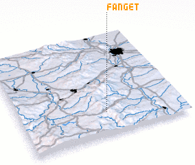 Places with similar names to Fanget, France ::
Disclaimer :: Information on this page comes without warranty of any kind |
||
|
Where is Fanget? Elevation and coordinates ::
Latitude (lat): 45°14'0"N Longitude (lon): 4°32'0"E
Elevation (approx.): 973m (map arrows pan, magnifying glasses zoom) |
||
|
Visiting Fanget? Hotel/Accommodation ::
Book a hotel in Fanget Travel Guide ::
Buy a travel guide for France rental cars ::
car rental offers GPS waypoint ::
download a GPX waypoint (PoI) of Fanget for your GPS receiver
|
||