|
search place name
|
||
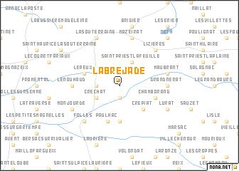
Labrejade (Limousin, France)Labrejade is a town in the Limousin region of France. An overview map of the region around Labrejade is displayed below.
regional and 3d topo map of Labrejade, France ::
Labrejade airports ::
The nearest airport is LIG - Limoges Bellegarde, located 42.7 km south west of Labrejade.
Other airports nearby include MCU - Montlucon-gueret Montlucon Gueret (65.7 km east), CHR - Chateauroux Deols (79.0 km north), MCU - Montlucon Domerat (83.8 km east), PIS - Poitiers Biard (104.2 km north west), Nearby towns ::
Saint-Pierre-de-Fursac (1.9km south) //
Saint-Étienne-de-Fursac (1.9km south) //
Cros (2.3km north west) //
Chabannes (2.6km west) //
Saint-Priest-la-Feuille (3.9km north) //
Créchat (3.2km south west) //
Crépiat (4.5km south east) //
La Cheirade (5.6km south) //
Le Peux (4.3km north west) //
Paulhac (5.7km south) //
Chamborand (4.3km south east) //
Grand Nérat (5.1km east) //
Le Nouhaud (5.1km west) //
Mazeirat (7.5km north) //
Maubrant (5.5km east) //
Leyport (6.8km north east) //
Lizières (6.8km north east) //
Folles (6.8km south west) //
La Souterraine (7.8km north) //
Lurat (6.3km south east) //
Monjourde (6.3km south west) //
Noth (9.0km north east) //
[all distances 'as the bird flies' and approximate] 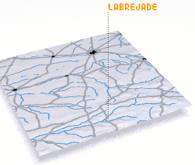 Places with similar names to Labrejade, France ::
// Laberget (NO)
// Laberget (NO)
// La Brigida (CU)
// Liborajdea (RO)
// Le Bourget (FR)
// Loberget (SE)
// Lyberget (SE)
// La Brígida (DO)
// La Bourgeade (FR)
// La Bourjat (FR)
Disclaimer :: Information on this page comes without warranty of any kind |
||
|
Where is Labrejade? Elevation and coordinates ::
Latitude (lat): 46°10'0"N Longitude (lon): 1°31'0"E
Elevation (approx.): 361m (map arrows pan, magnifying glasses zoom) |
||
|
Visiting Labrejade? Hotel/Accommodation ::
Book a hotel in Labrejade Travel Guide ::
Buy a travel guide for France rental cars ::
car rental offers GPS waypoint ::
download a GPX waypoint (PoI) of Labrejade for your GPS receiver
|
||