|
search place name
|
||
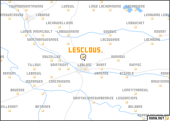
Les Clous (Centre, France)Les Clous is a town in the Centre region of France. An overview map of the region around Les Clous is displayed below.
regional and 3d topo map of Les Clous, France ::
Les Clous airports ::
The nearest airport is CHR - Chateauroux Deols, located 55.9 km north east of Les Clous.
Other airports nearby include PIS - Poitiers Biard (58.6 km west), LIG - Limoges Bellegarde (87.9 km south), TUF - Tours Val De Loire (90.7 km north), BOU - Bourges (109.3 km north east), Nearby towns ::
Le Blanc (1.9km south) //
Azé (3.1km north east) //
Avant (3.1km south east) //
Mont la Chapelle (3.1km south west) //
Varenne (4.5km south east) //
Pouligny-Saint-Pierre (4.5km north west) //
Bénavant (3.8km west) //
Saint-Aigny (4.2km south west) //
La Coudraie (5.3km north east) //
La Boudinière (6.1km north west) //
Nervaux (5.1km east) //
Sauzelles (5.1km west) //
Concremiers (6.7km south west) //
Douadic (6.7km north east) //
Coubernard (6.3km south west) //
La Chauvellière (8.3km north west) //
[all distances 'as the bird flies' and approximate] 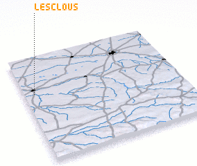 Places with similar names to Les Clous, France ::
// Los Agallos (PA)
// Los Callos (CU)
// Los Quiles (ES)
// Las Gualas (CL)
// Las Quilas (CL)
// Las Quilas (CL)
// Las Quilas (CL)
// Los Quilos (CL)
// Las Aguilas (CO)
// Las Águilas (CO)
Disclaimer :: Information on this page comes without warranty of any kind |
||
|
Where is Les Clous? Elevation and coordinates ::
Latitude (lat): 46°39'0"N Longitude (lon): 1°4'0"E
Elevation (approx.): 112m (map arrows pan, magnifying glasses zoom) |
||
|
Visiting Les Clous? Hotel/Accommodation ::
Book a hotel in Les Clous Travel Guide ::
Buy a travel guide for France rental cars ::
car rental offers GPS waypoint ::
download a GPX waypoint (PoI) of Les Clous for your GPS receiver
|
||