|
search place name
|
||
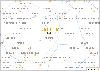
Le Tâtre (Poitou-Charentes, France)Le Tâtre is a town in the Poitou-Charentes region of France. An overview map of the region around Le Tâtre is displayed below.
regional and 3d topo map of Le Tâtre, France ::
Le Tâtre airports ::
The nearest airport is CNG - Cognac Chateaubernard, located 30.1 km north of Le Tâtre.
Other airports nearby include ANG - Angouleme Brie Champniers (49.2 km north east), RYN - Royan Medis (65.5 km north west), BOD - Bordeaux Merignac (75.4 km south west), RCO - Rochefort St Agnant (81.6 km north west), Nearby towns ::
Touvérac (1.9km south) //
Baignes-Sainte-Radegonde (3.2km south west) //
Reignac (3.2km north east) //
Lamérac (3.9km north) //
Montchaude (5.6km north) //
Condéon (5.2km east) //
Saint-Hilaire (7.9km north) //
Bran (7.6km south west) //
Chantillac (8.4km south west) //
Guimps (8.4km north west) //
Barbezieux (8.4km north east) //
Salles-de-Barbezieux (7.6km north east) //
[all distances 'as the bird flies' and approximate] 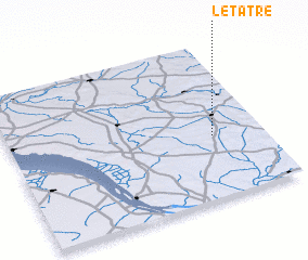 Places with similar names to Le Tâtre, France ::
// La Teodora (PA)
// La Auditoría (ES)
// Laditra (MG)
// La Tetera (CL)
// Lauttador (ID)
// Lotuturu (UG)
// Latadar (IR)
// Lateh Darreh (IR)
// Le Titre (FR)
// La Totora (AR)
Disclaimer :: Information on this page comes without warranty of any kind |
||
|
Where is Le Tâtre? Elevation and coordinates ::
Latitude (lat): 45°24'0"N Longitude (lon): 0°12'0"W
Elevation (approx.): 110m (map arrows pan, magnifying glasses zoom) |
||
|
Visiting Le Tâtre? Hotel/Accommodation ::
Book a hotel in Le Tâtre Travel Guide ::
Buy a travel guide for France rental cars ::
car rental offers GPS waypoint ::
download a GPX waypoint (PoI) of Le Tâtre for your GPS receiver
|
||