|
search place name
|
||
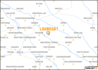
Loubédat (Midi-Pyrénées, France)Loubédat is a town in the Midi-Pyrénées region of France. An overview map of the region around Loubédat is displayed below.
regional and 3d topo map of Loubédat, France ::
Loubédat airports ::
The nearest airport is PUF - Pau Pyrenees, located 52.7 km south west of Loubédat.
Other airports nearby include LDE - Tarbes Lourdes (61.7 km south), AGF - Agen La Garenne (67.3 km north east), LRH - La Rochelle Lherm (105.5 km east), TLS - Toulouse Blagnac (109.2 km east), Nearby towns ::
Sion (1.3km west) //
Cravencères (2.3km north east) //
Bouzon-Gellenave (3.7km south) //
Bétous (3.7km south) //
Urgosse (2.7km west) //
Sorbets (3.3km south west) //
Sabazan (4.6km south east) //
Sainte-Christie-dʼArmagnac (4.6km north west) //
Fustérouau (5.6km south) //
Avéron-Bergelle (4.4km north east) //
Espas (5.5km north east) //
Nogaro (5.5km north west) //
Aignan (6.5km south east) //
Termes-dʼArmagnac (7.9km south) //
Bourrouillan (7.9km north) //
Sarragachies (7.7km south west) //
Salles-dʼArmagnac (8.4km north west) //
[all distances 'as the bird flies' and approximate] 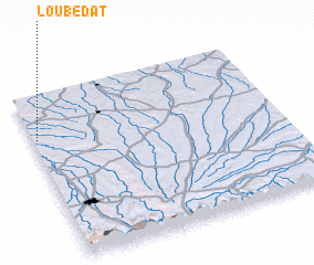 Places with similar names to Loubédat, France ::
// Labatat (PH)
// Libutad (PH)
// Lebotuto (TP)
// Léboudou Doué (SN)
// La Beatita (PE)
// Labadaad (SO)
// Labatut (FR)
// Labatut (FR)
// Labatut (FR)
// La Baitoíta (DO)
Disclaimer :: Information on this page comes without warranty of any kind |
||
|
Where is Loubédat? Elevation and coordinates ::
Latitude (lat): 43°44'0"N Longitude (lon): 0°1'0"W
Elevation (approx.): 145m (map arrows pan, magnifying glasses zoom) |
||
|
Visiting Loubédat? Hotel/Accommodation ::
Book a hotel in Loubédat Travel Guide ::
Buy a travel guide for France rental cars ::
car rental offers GPS waypoint ::
download a GPX waypoint (PoI) of Loubédat for your GPS receiver
|
||