|
search place name
|
||
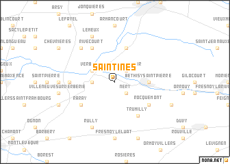
Saintines (Picardie, France)Saintines is a town in the Picardie region of France. An overview map of the region around Saintines is displayed below.
regional and 3d topo map of Saintines, France ::
Saintines airports ::
The nearest airport is CSF - Creil, located 18.7 km west of Saintines.
Other airports nearby include CDG - Paris Charles De Gaulle (35.6 km south west), LBG - Paris Le Bourget (43.8 km south west), BVA - Beauvais Tille (50.5 km west), POX - Pontoise Cormeilles En Vexin (57.5 km south west), Nearby towns ::
Néry (2.2km south east) //
Saint-Sauveur (2.2km north east) //
Saint-Vaast-de-Longmont (2.4km west) //
Verberie (3.0km north west) //
Béthisy-Saint-Martin (3.6km east) //
Béthisy-Saint-Pierre (3.6km east) //
Lacroix-Saint-Ouen (5.7km north) //
Rocquemont (5.2km south east) //
Raray (5.2km south west) //
Trumilly (6.1km south east) //
Rivecourt (6.1km north west) //
Rhuis (4.8km west) //
Longueil-Sainte-Marie (6.6km north west) //
Rully (7.8km south) //
Le Meux (7.8km north) //
[all distances 'as the bird flies' and approximate] 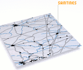 Places with similar names to Saintines, France ::
// Santa Inês (BR)
// Santa Inês (BR)
// Santa Inês (BR)
// Santo Inácio (BR)
// Santo Inácio (BR)
// Santo Inácio (BR)
// Santo Inácio (BR)
// Santo Inácio (BR)
// Santo Inácio (BR)
// Santa Ynez (US)
Disclaimer :: Information on this page comes without warranty of any kind |
||
|
Where is Saintines? Elevation and coordinates ::
Latitude (lat): 49°18'0"N Longitude (lon): 2°46'0"E
Elevation (approx.): 115m (map arrows pan, magnifying glasses zoom) |
||
|
Visiting Saintines? Hotel/Accommodation ::
Book a hotel in Saintines Travel Guide ::
Buy a travel guide for France rental cars ::
car rental offers GPS waypoint ::
download a GPX waypoint (PoI) of Saintines for your GPS receiver
|
||