|
search place name
|
||
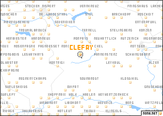
Clefay (Liège, Belgium)Clefay is a town in the Liège region of Belgium. An overview map of the region around Clefay is displayed below.
regional and 3d topo map of Clefay, Belgium ::
Clefay airports ::
The nearest airport is GKE - Geilenkirchen, located 47.8 km north of Clefay.
Other airports nearby include MST - Maastricht (48.7 km north west), LGG - Liege (49.1 km west), SPM - Spangdahlem Ab (74.7 km south east), CGN - Cologne Koln Bonn (81.4 km north east), Nearby towns ::
Kalteborn (2.2km south east) //
Herzogenhügel (2.2km north east) //
Bongard (2.2km north east) //
Rond Buisson (2.2km north west) //
Duret (2.2km north west) //
Porfays (3.7km north) //
Neckel (3.0km north east) //
Brandehaag (3.9km north) //
Alt Hattlich (3.9km north) //
Longchamps (4.4km north west) //
La Robinette (4.4km north west) //
Brochepierre (3.5km west) //
Pannensterz (3.5km east) //
Ternell (5.7km north) //
Mont Rigi (4.0km south west) //
Sourbrodt (5.7km south) //
Neu Hattlich (5.1km north east) //
Hahnheister (5.1km north east) //
Leykaul (5.1km east) //
Andrîfosse (7.5km south) //
Eschweide (5.1km east) //
Ovifat (7.5km south) //
Drossart (5.1km west) //
Fagne Esset (5.1km west) //
Longfaye (7.8km south) //
Hill (7.8km north) //
Seveneiken (7.8km north) //
Bergscheid (7.3km north west) //
Graesbeck (8.2km north west) //
[all distances 'as the bird flies' and approximate] 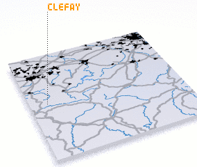 Places with similar names to Clefay, Belgium ::
Disclaimer :: Information on this page comes without warranty of any kind |
||
|
Where is Clefay? Elevation and coordinates ::
Latitude (lat): 50°32'0"N Longitude (lon): 6°7'0"E
Elevation (approx.): 591m (map arrows pan, magnifying glasses zoom) |
||
|
Visiting Clefay? Hotel/Accommodation ::
Book a hotel in Clefay Travel Guide ::
Buy a travel guide for Belgium rental cars ::
car rental offers GPS waypoint ::
download a GPX waypoint (PoI) of Clefay for your GPS receiver
|
||