|
search place name
|
||
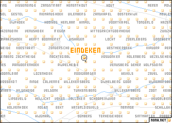
Eindeken (Antwerpen, Belgium)Eindeken is a town in the Antwerpen region of Belgium. An overview map of the region around Eindeken is displayed below.
regional and 3d topo map of Eindeken, Belgium ::
Eindeken airports ::
The nearest airport is BRU - Brussels Natl (Melsbroek), located 26.7 km south west of Eindeken.
Other airports nearby include ANR - Antwerp Deurne (27.4 km north west), WOE - Woensdrecht (54.0 km north west), EIN - Eindhoven (60.7 km north east), LGG - Liege (65.3 km south east), Nearby towns ::
Den Hoek (0.0km north) //
Brand (0.0km north) //
Booischot (1.2km west) //
Het Hoeksken (1.9km south) //
Den Koekoek (1.9km south) //
Varkensmarkt (1.2km east) //
Houtvenne (1.2km east) //
Lichten (2.2km south west) //
Hogeweg (2.2km north west) //
Plankebrug (2.2km south east) //
Heiberg (2.2km north east) //
Rooigaarden (3.7km south) //
De Putten (3.7km south) //
Kwadenplas (2.3km west) //
Kievit (2.3km west) //
Hulshout (3.7km north) //
Begijnendijk (3.9km south) //
De Meren (3.9km south) //
Wishagen (3.9km north) //
Bruggeneind (3.9km north) //
De Honderd (3.9km south) //
Bunders (3.9km south) //
Meerhoek (3.0km south west) //
Pijpelheide (3.0km south west) //
Laar (3.0km north west) //
Wiekevorstheide (3.9km north) //
Ramsel (3.0km south east) //
Moerberg (3.0km north east) //
Hulshouteindeken (3.0km north east) //
[all distances 'as the bird flies' and approximate] 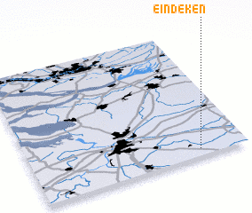
Disclaimer :: Information on this page comes without warranty of any kind |
||
|
Where is Eindeken? Elevation and coordinates ::
Latitude (lat): 51°3'0"N Longitude (lon): 4°47'0"E
Elevation (approx.): 10m (map arrows pan, magnifying glasses zoom) |
||
|
Visiting Eindeken? Hotel/Accommodation ::
Book a hotel in Eindeken Travel Guide ::
Buy a travel guide for Belgium rental cars ::
car rental offers GPS waypoint ::
download a GPX waypoint (PoI) of Eindeken for your GPS receiver
|
||