|
search place name
|
||
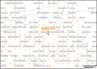
Hoeven (Limburg, Belgium)Hoeven is a town in the Limburg region of Belgium. An overview map of the region around Hoeven is displayed below.
regional and 3d topo map of Hoeven, Belgium ::
Hoeven airports ::
The nearest airport is EIN - Eindhoven, located 45.1 km north east of Hoeven.
Other airports nearby include ANR - Antwerp Deurne (46.3 km west), BRU - Brussels Natl (Melsbroek) (47.7 km south west), MST - Maastricht (50.8 km east), LGG - Liege (55.2 km south east), Nearby towns ::
Genendijk (0.0km north) //
De Reit (0.0km north) //
Kepkensberg (1.2km east) //
Verbroekt (1.2km west) //
Baal (1.2km west) //
Tessenderlo (2.2km south west) //
Konijnsberg (2.2km south east) //
Hulst (2.2km south east) //
Zwartenhoek (2.2km north east) //
Klein Vorst (2.3km west) //
Baalberg (2.3km west) //
Genenbos (2.3km east) //
Hulsbroek (2.3km east) //
Kerkeneiken (2.3km east) //
Schoonhees (3.7km south) //
Liebroek (3.0km south west) //
Kwaadmechelen (3.0km north east) //
Oosterbergen (3.9km south) //
Hoste (3.9km south) //
Hunberg (3.9km south) //
Molehuizen (3.9km south) //
Borgerhout (3.9km north) //
Gestel (3.9km north) //
Genelaar (3.9km north) //
Varode (4.4km south west) //
Op de Vlucht (4.4km south west) //
De Valen (4.4km south east) //
De Tempels (4.4km south east) //
Genebroek (4.4km north west) //
[all distances 'as the bird flies' and approximate] 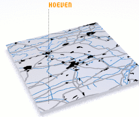 Places with similar names to Hoeven, Belgium ::
Disclaimer :: Information on this page comes without warranty of any kind |
||
|
Where is Hoeven? Elevation and coordinates ::
Latitude (lat): 51°5'0"N Longitude (lon): 5°6'0"E
Elevation (approx.): 22m (map arrows pan, magnifying glasses zoom) |
||
|
Visiting Hoeven? Hotel/Accommodation ::
Book a hotel in Hoeven Travel Guide ::
Buy a travel guide for Belgium rental cars ::
car rental offers GPS waypoint ::
download a GPX waypoint (PoI) of Hoeven for your GPS receiver
|
||