|
search place name
|
||
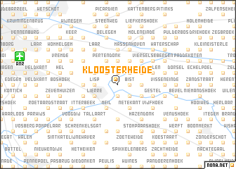
Kloosterheide (Antwerpen, Belgium)Kloosterheide is a town in the Antwerpen region of Belgium. An overview map of the region around Kloosterheide is displayed below.
regional and 3d topo map of Kloosterheide, Belgium ::
Kloosterheide airports ::
The nearest airport is ANR - Antwerp Deurne, located 10.7 km north west of Kloosterheide.
Other airports nearby include BRU - Brussels Natl (Melsbroek) (28.8 km south), WOE - Woensdrecht (37.8 km north west), EIN - Eindhoven (63.5 km north east), CRL - Charleroi Brussels South (77.5 km south), Nearby towns ::
Putting (1.2km east) //
Bist (1.2km east) //
Salvator (1.9km south) //
Het Ven (1.9km north) //
Hoog Tongel (1.9km north) //
Emblem (1.9km north) //
Molenveld (2.2km north east) //
Kessel (2.2km south east) //
Litzemaarheide (2.2km north west) //
Allierseheide (2.3km west) //
Lisp (2.3km west) //
Suikertoren (2.3km east) //
Hoge Heide (2.3km east) //
Blauwenhoek (2.3km east) //
Broechem (3.7km north) //
Nierlenders (3.7km north) //
Het Spreet (3.9km south) //
Netekant (3.9km south) //
Meil (3.9km south) //
Lierre (3.0km south west) //
Hagenbroek (3.0km north west) //
Kannaardsheide (3.0km north east) //
Achterbist (3.0km north east) //
Bogaartsheide (3.0km south east) //
Mol ter Nete (3.0km north east) //
Pertendonk (3.9km north) //
Moor (3.9km north) //
Bergse Hoeven (3.9km north) //
Het Lo (3.9km north) //
[all distances 'as the bird flies' and approximate] 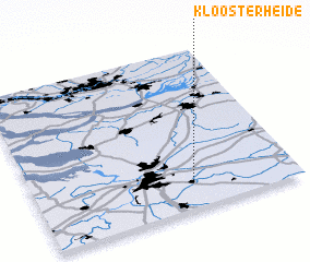 Places with similar names to Kloosterheide, Belgium ::
// Klosterheide (DE)
// Klosterheide (DE)
Disclaimer :: Information on this page comes without warranty of any kind |
||
|
Where is Kloosterheide? Elevation and coordinates ::
Latitude (lat): 51°9'0"N Longitude (lon): 4°36'0"E
Elevation (approx.): 11m (map arrows pan, magnifying glasses zoom) |
||
|
Visiting Kloosterheide? Hotel/Accommodation ::
Book a hotel in Kloosterheide Travel Guide ::
Buy a travel guide for Belgium rental cars ::
car rental offers GPS waypoint ::
download a GPX waypoint (PoI) of Kloosterheide for your GPS receiver
|
||