|
search place name
|
||
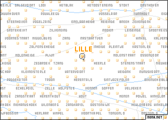
Lille (Antwerpen, Belgium)Lille is a town in the Antwerpen region of Belgium. An overview map of the region around Lille is displayed below.
regional and 3d topo map of Lille, Belgium ::
Lille airports ::
The nearest airport is ANR - Antwerp Deurne, located 26.5 km west of Lille.
Other airports nearby include WOE - Woensdrecht (41.8 km north west), BRU - Brussels Natl (Melsbroek) (44.3 km south west), EIN - Eindhoven (44.8 km north east), MST - Maastricht (74.8 km south east), Nearby towns ::
Beek (NaNkm north) //
Den Hoek (NaNkm north) //
Galgenberg (1.2km west) //
Heieinde (1.2km west) //
Poederlee (1.2km west) //
Moleneinde (1.2km west) //
Heikant (1.2km west) //
Hoeven (1.9km south) //
Den Hoek (1.9km south) //
Zielestraat (1.2km east) //
Borze (1.9km north) //
Zittaart (2.2km south west) //
Molenberg (2.2km south west) //
Sassenhout (2.2km south west) //
Hulsen (2.2km south east) //
Oevelenberg (2.2km north west) //
Heissiehoek (2.2km north west) //
Zandhoven Heide (2.2km north east) //
Kauwenberg (2.2km north east) //
Galgeheide (2.2km north east) //
Watervoort (3.9km south) //
Broekzijde (3.0km north west) //
Heerle (3.0km south east) //
Achterlee (3.0km south east) //
Het Rolleken (3.9km north) //
Veenzijde (3.0km north east) //
Rastaartven (3.9km north) //
Gierle (3.9km north) //
Het Heiken (4.4km south west) //
[all distances 'as the bird flies' and approximate] 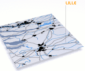 Places with similar names to Lille, Belgium ::
Disclaimer :: Information on this page comes without warranty of any kind |
||
|
Where is Lille? Elevation and coordinates ::
Latitude (lat): 51°14'0"N Longitude (lon): 4°50'0"E
Elevation (approx.): 15m (map arrows pan, magnifying glasses zoom) |
||
|
Visiting Lille? Hotel/Accommodation ::
Book a hotel in Lille Travel Guide ::
Buy a travel guide for Belgium rental cars ::
car rental offers GPS waypoint ::
download a GPX waypoint (PoI) of Lille for your GPS receiver
|
||