|
search place name
|
||
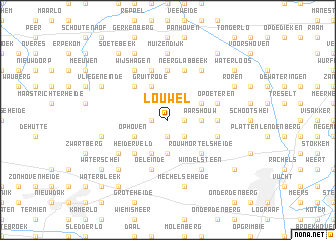
Louwel (Limburg, Belgium)Louwel is a town in the Limburg region of Belgium. An overview map of the region around Louwel is displayed below.
regional and 3d topo map of Louwel, Belgium ::
Louwel airports ::
The nearest airport is MST - Maastricht, located 19.5 km south east of Louwel.
Other airports nearby include GKE - Geilenkirchen (32.6 km east), LGG - Liege (47.2 km south), EIN - Eindhoven (47.2 km north), MGL - Moenchengladbach Monchengladbach (66.4 km east), Nearby towns ::
Hoeve (1.9km south) //
Dorperbroek (1.9km south) //
Dorne (1.2km east) //
Opglabbeek (1.2km west) //
Het Laar (1.2km west) //
Aan ʼt Hoolven (1.2km east) //
Kalenberg (2.2km south east) //
Geenstraat (3.7km south) //
Niel-bij-As (3.7km south) //
Aars Houw (2.3km east) //
Overeindeveld (3.9km south) //
As (3.9km south) //
Ophoven (3.0km south west) //
De Riet (3.0km north east) //
Bergeinde (3.0km north east) //
Gruitrode (3.9km north) //
Heiderveld (4.4km south west) //
Rouwmortelsheide (4.4km south east) //
Ophoven (4.4km north west) //
Den Houw (3.5km east) //
Neerhoven (5.6km north) //
Nedereinde (5.7km south) //
Oeleinde (5.7km south) //
Cité Cockerill (5.7km south) //
Dornerheide (4.0km south east) //
Opoeteren (4.0km north east) //
Neerglabbeek (5.7km north) //
Boshoven (5.7km north) //
Zevenhuizen (5.1km south west) //
[all distances 'as the bird flies' and approximate] 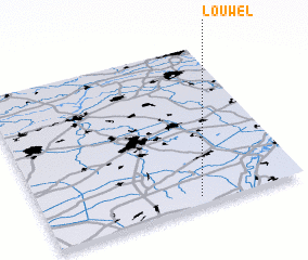 Places with similar names to Louwel, Belgium ::
Disclaimer :: Information on this page comes without warranty of any kind |
||
|
Where is Louwel? Elevation and coordinates ::
Latitude (lat): 51°3'0"N Longitude (lon): 5°36'0"E
Elevation (approx.): 83m (map arrows pan, magnifying glasses zoom) |
||
|
Visiting Louwel? Hotel/Accommodation ::
Book a hotel in Louwel Travel Guide ::
Buy a travel guide for Belgium rental cars ::
car rental offers GPS waypoint ::
download a GPX waypoint (PoI) of Louwel for your GPS receiver
|
||