|
search place name
|
||
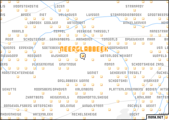
Neerglabbeek (Limburg, Belgium)Neerglabbeek is a town in the Limburg region of Belgium. An overview map of the region around Neerglabbeek is displayed below.
regional and 3d topo map of Neerglabbeek, Belgium ::
Neerglabbeek airports ::
The nearest airport is MST - Maastricht, located 23.6 km south east of Neerglabbeek.
Other airports nearby include GKE - Geilenkirchen (33.6 km south east), EIN - Eindhoven (42.5 km north west), LGG - Liege (52.9 km south), MGL - Moenchengladbach Monchengladbach (63.8 km east), Nearby towns ::
De Berg (1.2km east) //
Neerhoven (1.2km west) //
Muizen Dijk (2.2km north west) //
Panhoven (3.7km north) //
Boshoven (2.3km west) //
De Riet (3.9km south) //
Bergeinde (3.9km south) //
Bree (3.9km north) //
Opitter (3.0km north east) //
Gruitrode (3.0km south west) //
Opoeteren (4.4km south east) //
Veeweide (5.6km north) //
Meisven (3.5km west) //
Wijshagen (3.5km west) //
Waterloos (3.5km east) //
Aan ʼt Hoolven (5.6km south) //
Dorne (5.6km south) //
Broekkant (5.7km north) //
Aars Houw (5.7km south) //
Beek (5.7km north) //
Neijen (4.0km north west) //
Ophoven (4.0km south west) //
Roesterberg (4.0km south east) //
Roren (4.0km south east) //
Louwel (5.7km south) //
Gerkenberg (5.1km north west) //
Tongerlo (5.1km north east) //
ʼt Hasselt (6.0km north east) //
Den Houw (6.0km south east) //
[all distances 'as the bird flies' and approximate] 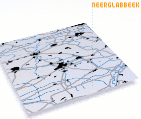 Places with similar names to Neerglabbeek, Belgium ::
// Nurgali Baihk (PK)
Disclaimer :: Information on this page comes without warranty of any kind |
||
|
Where is Neerglabbeek? Elevation and coordinates ::
Latitude (lat): 51°6'0"N Longitude (lon): 5°37'0"E
Elevation (approx.): 57m (map arrows pan, magnifying glasses zoom) |
||
|
Visiting Neerglabbeek? Hotel/Accommodation ::
Book a hotel in Neerglabbeek Travel Guide ::
Buy a travel guide for Belgium rental cars ::
car rental offers GPS waypoint ::
download a GPX waypoint (PoI) of Neerglabbeek for your GPS receiver
|
||