|
search place name
|
||
Motmolen (Limburg, Belgium)Motmolen is a town in the Limburg region of Belgium. An overview map of the region around Motmolen is displayed below.
regional and 3d topo map of Motmolen, Belgium ::

Motmolen airports ::
The nearest airport is MST - Maastricht, located 20.2 km east of Motmolen.
Other airports nearby include LGG - Liege (24.0 km south), GKE - Geilenkirchen (40.1 km east), EIN - Eindhoven (67.3 km north), BRU - Brussels Natl (Melsbroek) (71.7 km west), Nearby towns ::
Broek (0.0km north) //
Hoeselt (1.2km west) //
Leten (1.2km east) //
Rijk (1.2km east) //
Meerhem (1.9km north) //
Molenbroek (1.9km south) //
Werm (2.2km south west) //
Rijkhoven (2.2km south east) //
Groenstraat (2.2km north west) //
Bilzen (2.2km north east) //
Nederstraat (2.2km north west) //
Rooie (3.7km north) //
Spurk (3.7km north) //
Romershoven (2.3km west) //
Martenslinde (2.3km east) //
Hombroek (2.3km west) //
Kruis (2.3km west) //
De Beis (3.7km south) //
Buissen (3.9km north) //
Broekem (3.9km north) //
Munsterbilzen (3.9km north) //
Weert (3.0km south east) //
Penneel (3.0km north west) //
Meershoven (3.0km north east) //
Vaar Henis (3.9km south) //
Laar (4.4km north west) //
Vrijhern (4.4km south west) //
Klein-Membruggen (4.4km south east) //
Membruggen (4.4km south east) //
[all distances 'as the bird flies' and approximate] 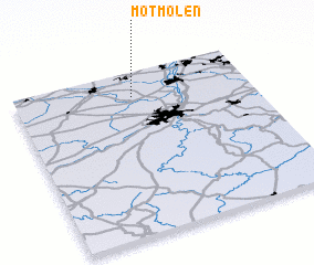 Places with similar names to Motmolen, Belgium ::
// Mademühlen (DE)
// Madiamilina (CG)
// Medamulana (LK)
// Mad Mullāna (PK)
// Mad Mullāna (PK)
// Matamoulana (ML)
// Madumelane (MZ)
Disclaimer :: Information on this page comes without warranty of any kind |
||
|
Where is Motmolen? Elevation and coordinates ::
Latitude (lat): 50°51'0"N Longitude (lon): 5°30'0"E
Elevation (approx.): 60m (map arrows pan, magnifying glasses zoom) |
||
|
Visiting Motmolen? Hotel/Accommodation ::
Book a hotel in Motmolen Travel Guide ::
Buy a travel guide for Belgium rental cars ::
car rental offers GPS waypoint ::
download a GPX waypoint (PoI) of Motmolen for your GPS receiver
|
||