|
search place name
|
||
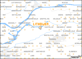
Lithoijen (Noord-Brabant, Netherlands)Lithoijen is a town in the Noord-Brabant region of Netherlands. An overview map of the region around Lithoijen is displayed below.
regional and 3d topo map of Lithoijen, Netherlands ::
Lithoijen airports ::
The nearest airport is UTC - Soesterberg, located 38.7 km north of Lithoijen.
Other airports nearby include EIN - Eindhoven (39.4 km south), RTM - Rotterdam (73.0 km west), AMS - Amsterdam Schiphol (74.3 km north west), LID - Valkenburg (82.8 km north west), Nearby towns ::
Alphen (1.9km north) //
Moleneind (1.9km north) //
Moordhuizen (2.2km north west) //
Teeffelen (2.3km east) //
Lith (2.3km west) //
Greffeling (3.9km north) //
De Helluw (2.9km north east) //
Amsteleind (4.4km south east) //
Oijen (4.4km north east) //
Nieuwe Schans (4.4km north east) //
Benedeneind (4.4km north east) //
Oude Maasdijk (4.4km north west) //
Boveneind (3.9km north east) //
Voorne (3.9km north west) //
Berghuizen (3.9km north east) //
Heihoek (6.0km south) //
Dreumel (6.0km north) //
Run (7.4km south) //
Geffen (7.4km south) //
Papendijk (7.4km south) //
Maren-Kessel (4.6km west) //
Kessel (4.6km west) //
Horszak (4.9km east) //
Maasbommel (4.9km east) //
Lagekant (7.5km south) //
Schotsheuvel (7.5km south) //
Heerewaarden (4.9km west) //
Bergstraat (6.5km south east) //
Ruwaard (6.5km south east) //
[all distances 'as the bird flies' and approximate] 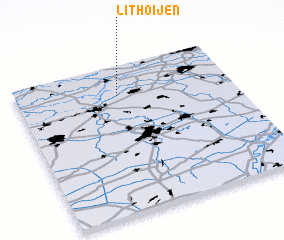 Places with similar names to Lithoijen, Netherlands ::
// Luithagen (BE)
Disclaimer :: Information on this page comes without warranty of any kind |
||
|
Where is Lithoijen? Elevation and coordinates ::
Latitude (lat): 51°48'0"N Longitude (lon): 5°28'0"E
Elevation (approx.): 3m (map arrows pan, magnifying glasses zoom) |
||
|
Visiting Lithoijen? Hotel/Accommodation ::
Book a hotel in Lithoijen Travel Guide ::
Buy a travel guide for Netherlands rental cars ::
car rental offers GPS waypoint ::
download a GPX waypoint (PoI) of Lithoijen for your GPS receiver
|
||