|
search place name
|
||
Caia (Portalegre, Portugal)Caia is a town in the Portalegre region of Portugal. An overview map of the region around Caia is displayed below.
regional and 3d topo map of Caia, Portugal ::

Caia airports ::
The nearest airport is BJZ - Badajoz Talavera La Real, located 25.6 km east of Caia.
Other airports nearby include SVQ - Sevilla (201.8 km south east), FAO - Faro (229.7 km south), OZP - Sevilla Moron Ab (237.7 km south east), SLM - Salamanca (259.3 km north east), Nearby towns ::
Segóvia (1.4km west) //
Vale Morto (2.3km south east) //
Casa de Cantoneiros (2.3km south west) //
Choças (3.4km north east) //
Monte do Passo (5.6km south) //
Monte das Barrancas (5.7km south) //
Monte da Dona Joana (6.3km south east) //
Monte do Lago (6.3km south west) //
Campo Maior (6.3km north east) //
Abegoaria (6.3km north west) //
Chacim (6.1km west) //
Monte do Botafogo (7.6km south) //
Monte das Espadas (7.0km south west) //
Contenda (8.0km north) //
Monte da Comenda (8.6km south east) //
Vedor (9.4km south west) //
[all distances 'as the bird flies' and approximate] 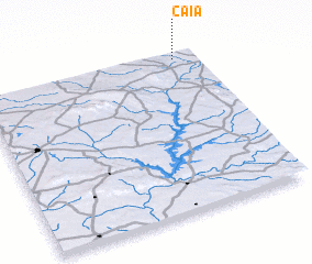 Places with similar names to Caia, Portugal ::
Disclaimer :: Information on this page comes without warranty of any kind |
||
|
Where is Caia? Elevation and coordinates ::
Latitude (lat): 38°58'0"N Longitude (lon): 7°6'0"W
Elevation (approx.): 183m (map arrows pan, magnifying glasses zoom) |
||
|
Visiting Caia? Hotel/Accommodation ::
Book a hotel in Caia Travel Guide ::
Buy a travel guide for Portugal rental cars ::
car rental offers GPS waypoint ::
download a GPX waypoint (PoI) of Caia for your GPS receiver
|
||